3 Challenging but Rewarding Hikes Near Seward, Alaska
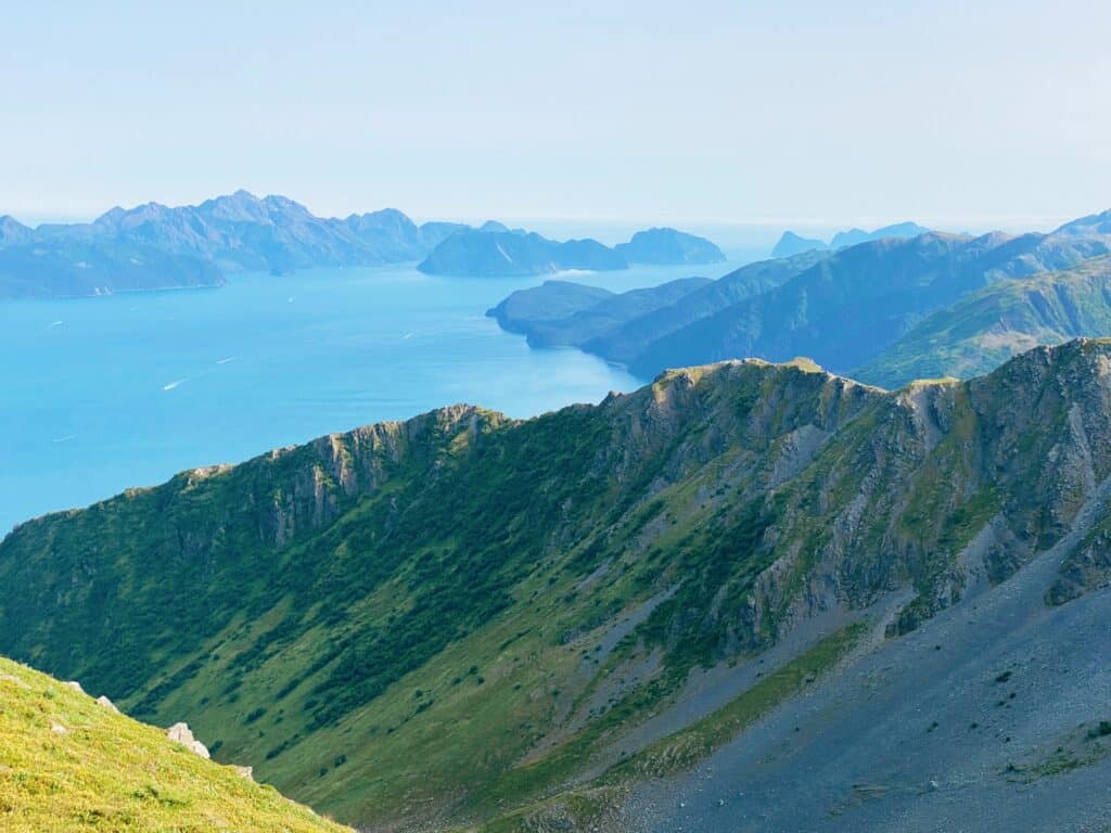
Whenever visiting Seward, Alaska it is highly recommended to find at least one good trail to hike. There is simply no substitute for getting intimate with the landscape in this way.
The vast amount of trails in the surrounding area range in difficulty from ‘a walk in the park‘ to ‘why did I even attempt this?‘, but a majority of the hikes near Seward fall somewhere in between.
In order to have the best experience possible, one should select a trail that fits the level of challenge they are looking for.
However, I encourage those who are physically capable to get out of their comfort zone and challenge themselves with a hike that at first glance may seem ridiculous.
As long as they take all of the necessary safety precautions, hiking up a challenging trail can be one of the most rewarding experiences ever.
The three trails that I will be talking about below all may seem to be ‘out of reach’ for visitors not used to Seward’s incredibly steep terrain. But don’t write them off just yet!
Let’s take a look at what makes these three challenging hikes near Seward worth the effort.
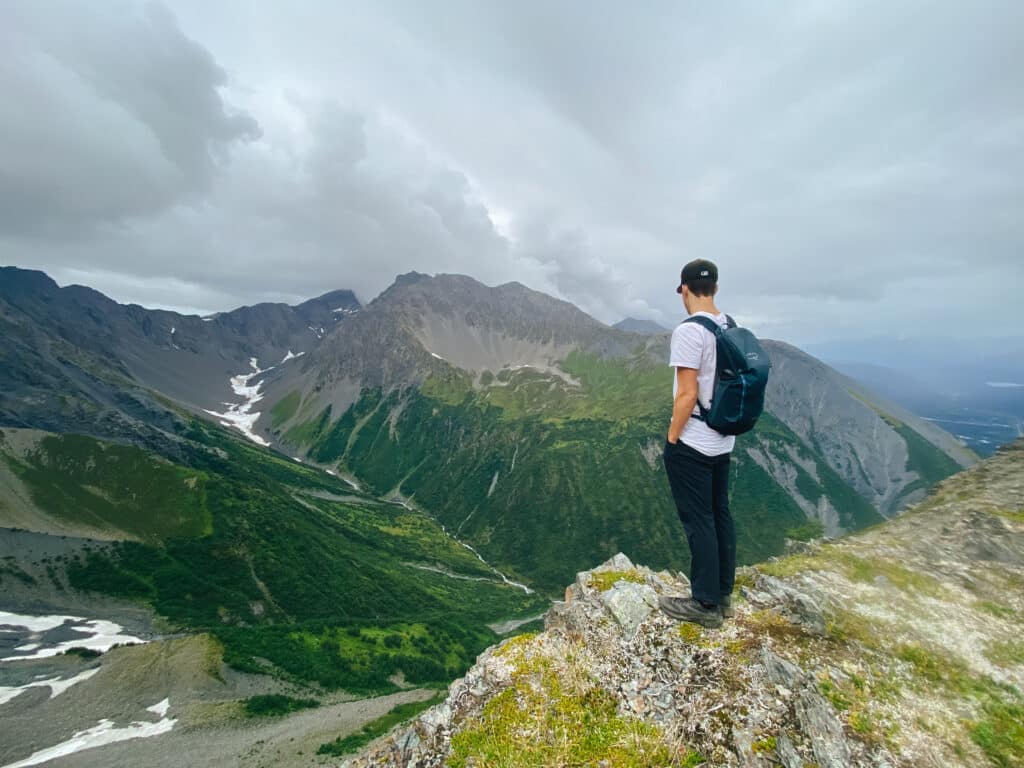
3 Challenging but Rewarding Hikes Near Seward, Alaska
1. Mount Alice Trail
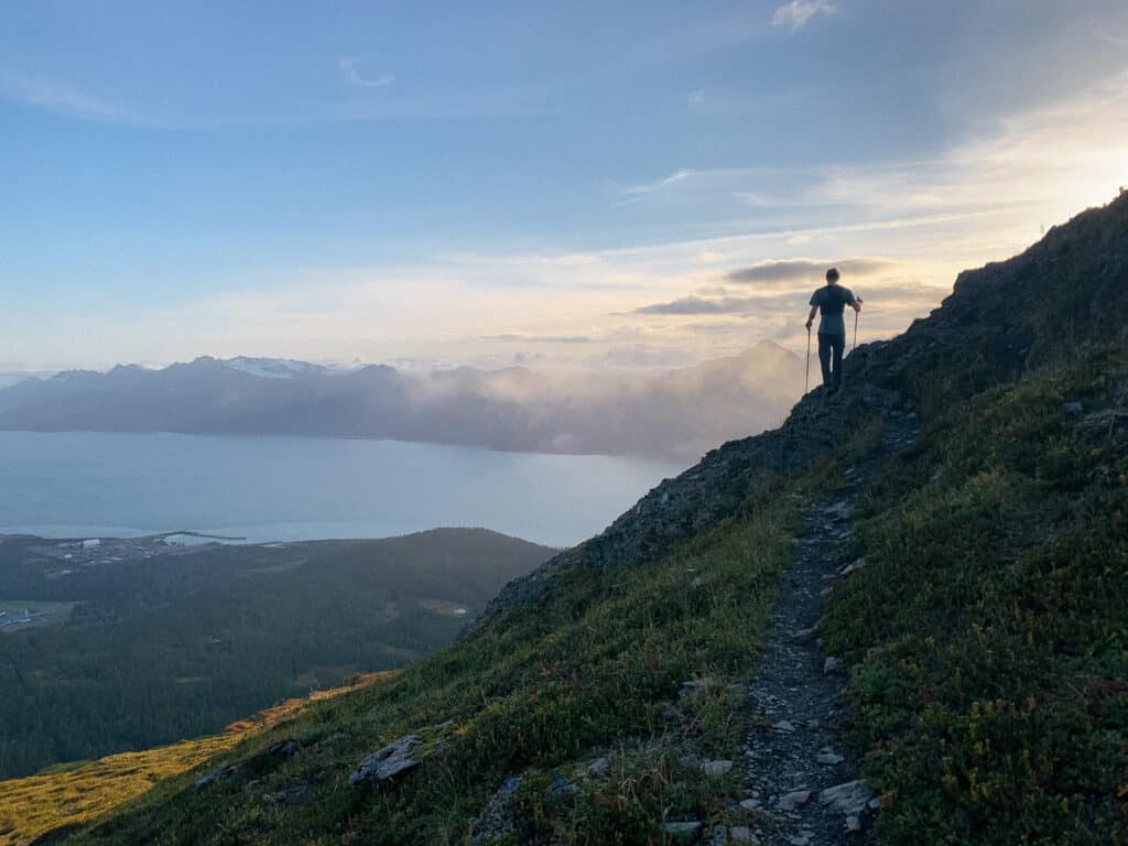
- Distance: ~4.9 miles to Lookout Point, ~6 miles to Godwin Glacier Viewpoint (roundtrip)
- Elevation Gain: ~2,975 feet to Lookout Point, ~3,530 feet to Godwin Glacier Viewpoint
- Difficulty: Hard-Severe
- Time to Complete: Around 5 hours out-and-back
- Traffic: Moderately to lightly trafficked
Locating the Mount Alice Trailhead
With just a quick look at the stats above, you can probably understand why this trail is considered challenging.
The first challenge is finding the trailhead. If you don’t know what you’re looking for it can be very easy to miss. There is no signage, no markings, and no ‘easing you into it’.
The trailhead can be found by using the directions button on the AllTrails listing for the Alice Mountain Lookout Trail (that’s just another name for the same trail).
You will be mapped to an indiscriminate point along Nash Road, where you will find an area for parking on the right. Directly across the road, the trail begins at a 74% grade.
On wet days, getting past this part can be a little tricky. And considering the fact that directly below you lies the concrete road, you wouldn’t want to fall backward.
Climbing Past the Tree Line
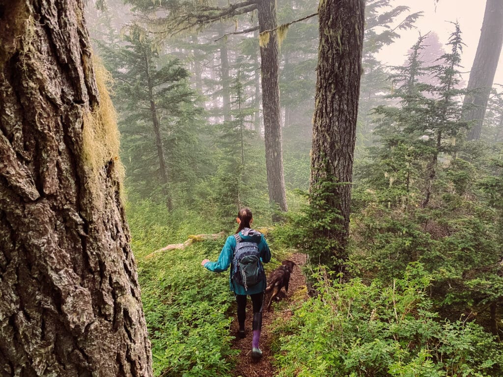
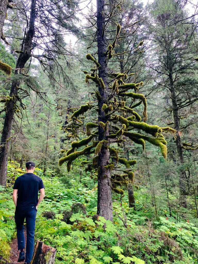
Once past the entry point into the woods, the trail climbs straight up the mountain, with an average grade of around 40%. There’s not much in the way of views along this section, other than appreciating the towering spruces and hemlocks.
The trail continues in this way for about a mile, until it leads you into a clearing where the trail levels out, serving as a nice break from the steep climb.
This clearing may serve as a good turn-around point for some hikers. The views are already incredible, and the challenge satisfying, so you can be sure that you have made the most of your time with this short two-mile roundtrip trek.
Lookout Point
To continue onwards towards the lookout point, you’ll need to keep your eyes peeled for when the trail splits off to the right, heading up a rather steep, tree-covered incline.
On rainy days, this section turns into more of a stream than a trail, so definitely expect to keep some wet feet unless you have the right footwear.
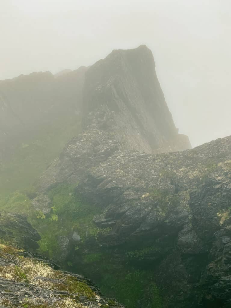
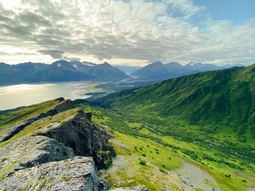
Up and up and up the trail climbs, and soon you find yourself walking along the southwestern ridge of Mount Alice, completely exposed to the elements.
Every way you look you are met with jaw-dropping, Earth-celebrating views that are rivaled by, in my opinion, few other spots on the planet.
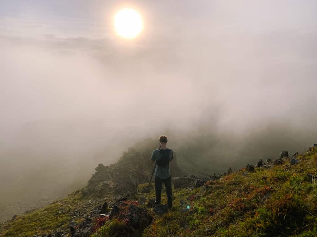
At this point, you can walk as much or little more as you want. The actual Lookout Point is located 2.3 miles from the trailhead, but the extra mileage and elevation may not be entirely worth it if you already feel like you’ve fulfilled your desire for mountain views.
Godwin Glacier Overlook
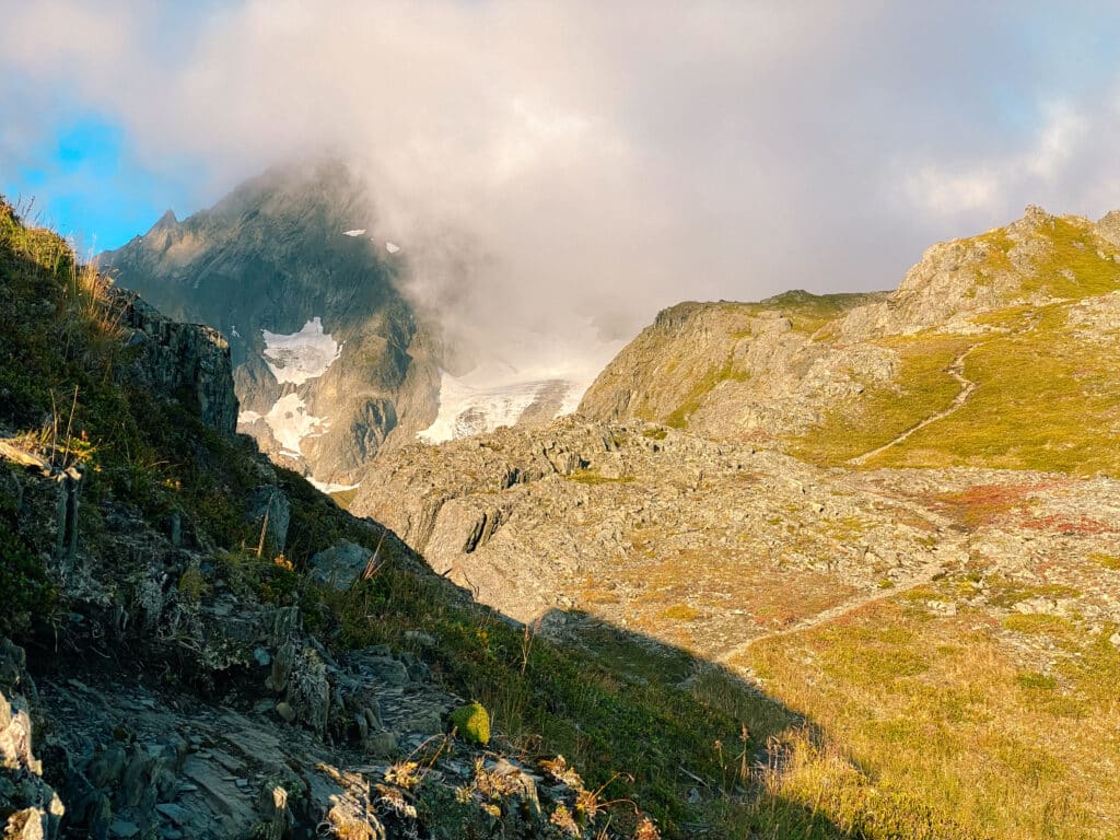
For one who really wants to get the most out of your time on the mountain, you can make the decision to head all the way to Godwin Glacier Overlook.
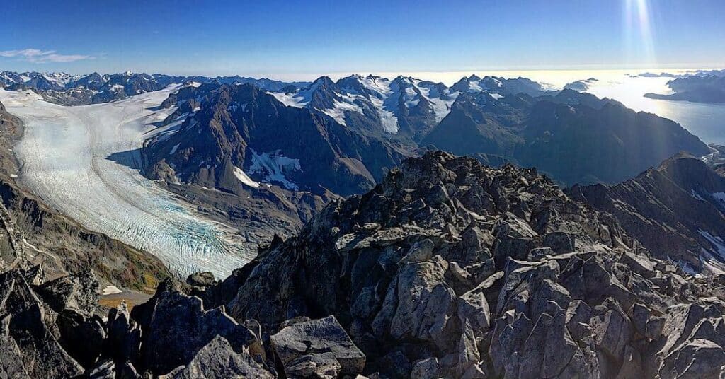
The Godwin Glacier Overlook adds considerably more elevation gain to your hike and is only 0.4 miles more than the trek to Lookout Point.
Depending on how much gas you have left in the tank, you most likely won’t regret the sights the extra effort offers you.
For a more in-depth look a the Mount Alice Trail, check out our article here.
2. Mount Marathon Trail(s)
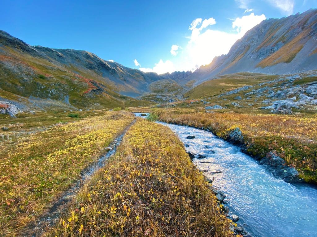
- Distance: 4.2 miles out-and-back to The Bowl, extra 2 miles out-and-back to Race Point
- Elevation Gain: ~1,800 feet to The Bowl, ~2,900 to Race Point
- Difficulty: Moderate-Hard
- Time to Complete: 2 to 5 hours, depending on turnaround point
- Traffic: Moderately to heavily trafficked
The Mount Marathon Race
Mount Marathon is undoubtedly the most famous mountain in Seward, Alaska. Not only does the town basically live in its shadow, but there is also a yearly race to the false summit of the mountain.
The Mount Marathon Race takes place every year on the Fourth of July, creating a spirit of friendly competition that can be felt throughout the entire city.
The race isn’t all fun and games, however. The Mount Marathon Race holds the claim of being the toughest 5k on the planet. Just looking at the runners’ faces tells you everything you need to know about the intense difficulty of this race.
The runners take a route up the mountain known as the Runners’ Trail, which is a grueling 3,000 feet up in only 1.5 miles, topping out at Race Point.
This is not the route that I am suggesting visitors take. Thankfully there is a much more friendly route up the mountain known as the Jeep to Skyline Trail. But that doesn’t mean it doesn’t have its own challenges.
Jeep Trail
The Jeep Trail begins by weaving through the temperate rainforest at the mountains’ base with a series of switchbacks that take you all the way up past the tree line.
The Jeep Trail is named as such because it is a wide, steep trail that resembles more of an extreme fire road than a hiking trail. While I’ve never seen a Jeep on the trail, if someone had the right vehicle, this would be quite the drive.
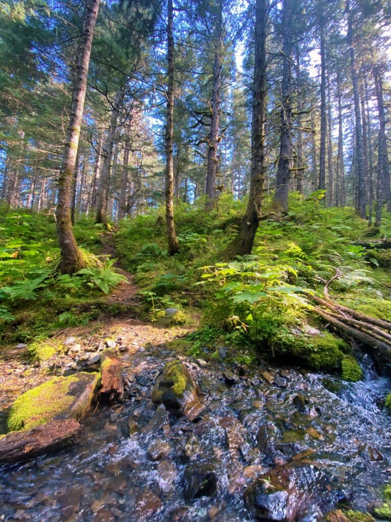
The switchbacks are steep, which in a lot of cases can deter people from even attempting this trail. I can’t say that I blame anyone who reacts this way, as when I first set foot on the trail I couldn’t believe how intense it was right out of the gate.
Skyline Trail
The Jeep Trail ends where the Skyline Trail begins. The first section of the Skyline Trail is a welcome rest from the steep grade of the Jeep Trail.
The trail runs northwest, following the tree line for the majority of its length. You will pass a reservoir which is fed by a stream whose origin can be traced all the way to the icefield hidden on the other side of the mountain tops.
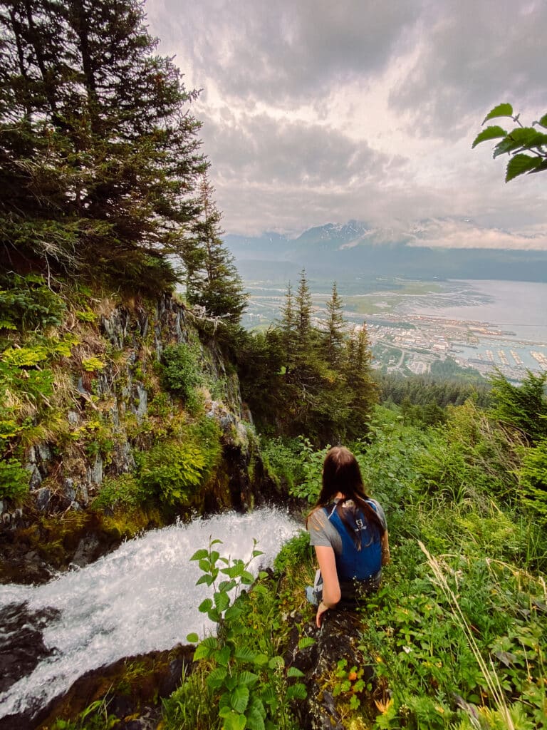
At this point, you have already covered quite a bit of elevation gain. Turning around and looking to the south, you will be able to marvel at Resurrection Bay.
The Skyline Trail quickly changes from a nice, relatively flat stroll to another strenuous climb heading up toward the mouth of the Mount Marathon Bowl.
When the trail is muddy, pay extra careful attention to where you are placing your feet. I have slipped and fallen on this trail more times than I would’ve cared to.
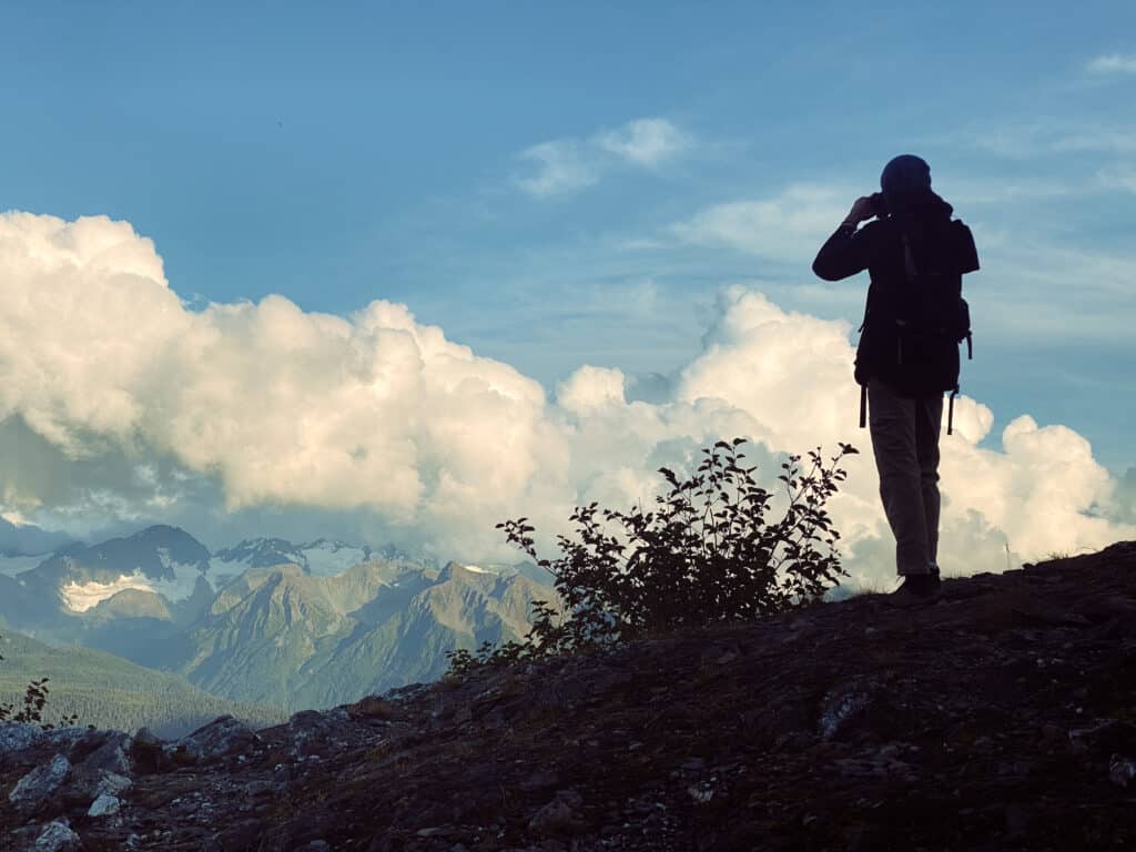
Mount Marathon Bowl
Your reward for toughing out the last stretch to the Bowl is a place that rivals any paradise you may have seen thus far in your life. The Mount Marathon Bowl is a very special place for any Sewardite who enjoys exploring the land around our town.
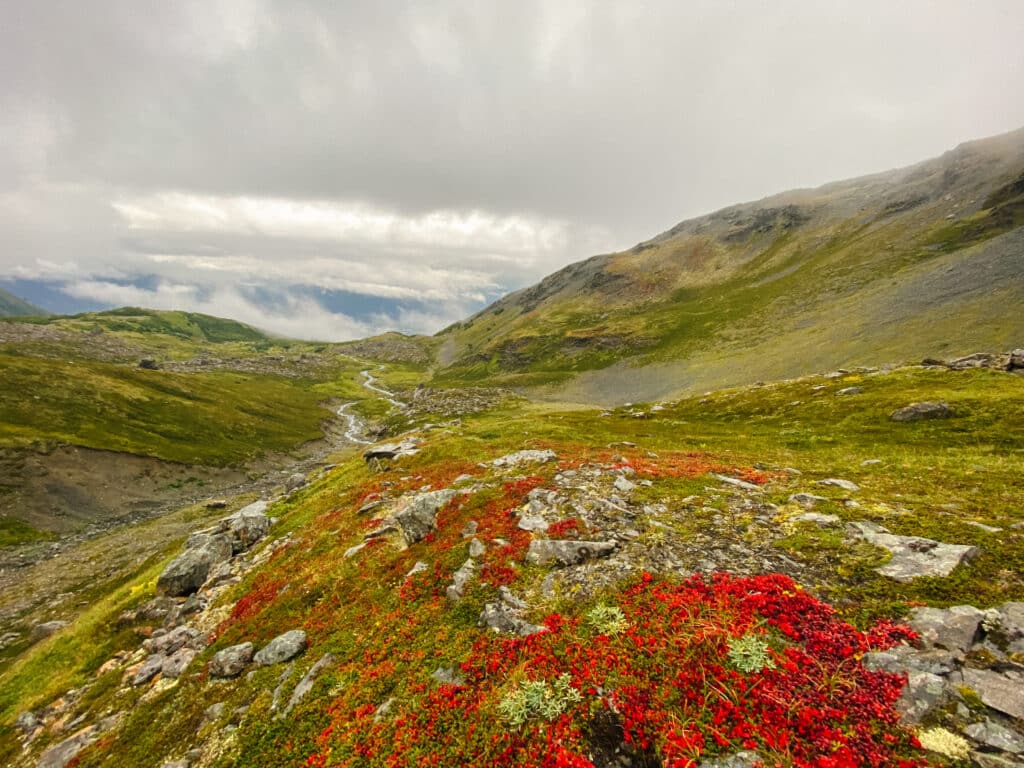
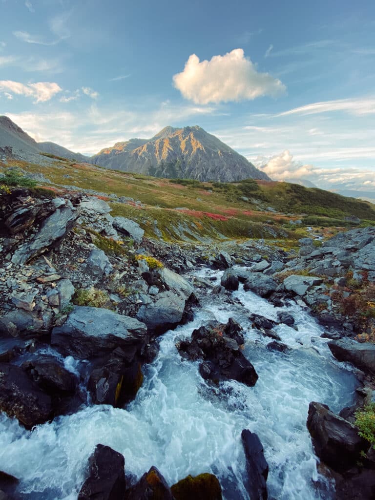
Hikers are cradled by the mountains that form the rim of the ‘bowl’, creating a scene that is capable of quieting your mind in an instant.
You have the choice to either sit and enjoy the Marathon Bowl, opting to turn around and head back down after getting your fill, or you can head even higher in elevation towards the false summit.
Runners’ Peak
The south side of the Mount Marathon Bowl, about 1,000 extra feet up in elevation, is none other than Runners’ Peak.
The view from where you stand in the Bowl is already marvelous in every way, but climbing further up can push the excitement, and the reward, even higher.
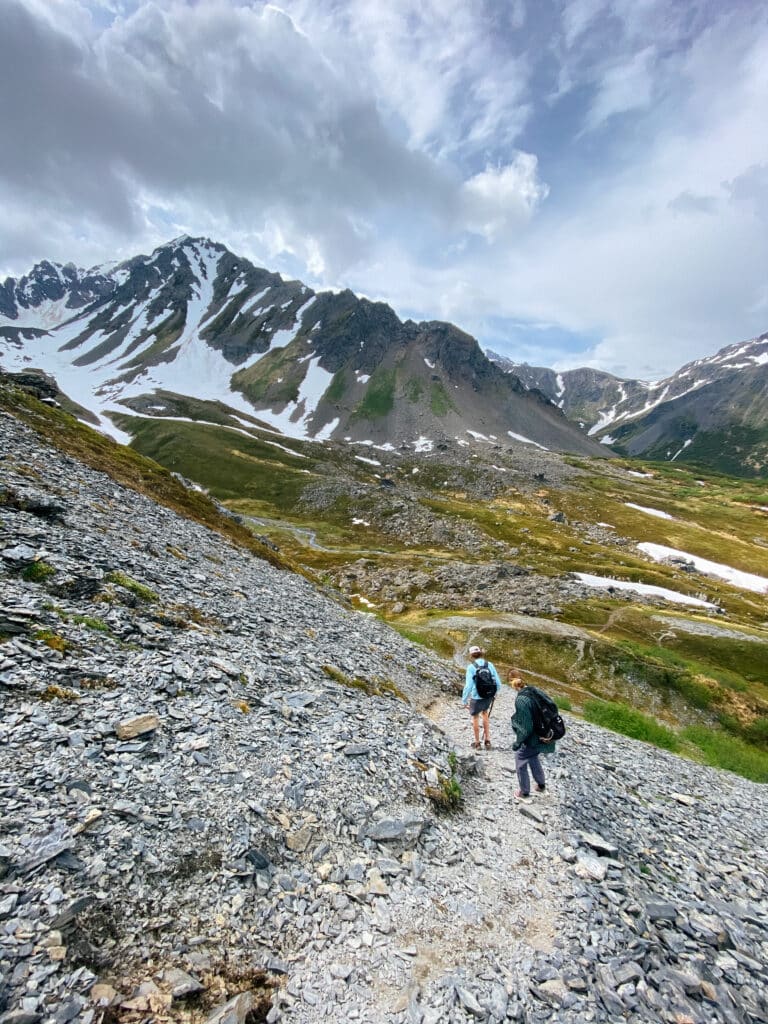
There is a trail connecting the Bowl up to the north-oriented ridge that leads to Runners’ Peak. If you have it in you, I recommend at least giving this section of the trail a shot.
Besides to remarkable views of the city and fjord below, you get bragging rights that you made it to the turnaround point for the hardest 5k in the world.
3. Bear Mountain Trail
- Distance: ~4 miles out-and-back
- Elevation Gain: ~2,700 feet
- Difficulty: Severe (Attempt at your own risk)
- Time to Complete: 3 to 6 hours
- Traffic: Lightly trafficked
A Very Necessary WARNING
Bear Mountain is not your typical hiking trail. Many points along this trail are not easily traversed, and more are just plain dangerous.
The risk-to-reward ratio may be too out of balance for some, but you can be sure that the trek up Bear Mountain is one you will not ever forget.
The Bear Mountain trail is what we would call a ‘local trail’. The only reason it exists is that some bada** Sewardites wanted to clear a path for others to enjoy the borderline unbelievable grandeur of this mountain.
This trail is not maintained by any body of people other than those who volunteer their own time and energy to cut away some of the overgrowth.
Some years the trail isn’t cleared at all, making for a very intimate, shoulder-brushing hike with the foliage. A lot of people can’t stand hiking on an overgrown trail, but I view it as the price of admission.
No trek this extreme comes without its challenges (and annoyances).
If you are an experienced hiker who has the tools and knowledge necessary to stay safe up in the mountains, the Bear Mountain Trail is definitely worth a shot. If you are not, I recommend choosing one of the other, less hair-raising trails that Seward offers.
Finding someone who has already completed the trail before will make your experience even better. The first section of the trail is very easy to get lost or sidetracked on.
An Interesting Beginning
You can find the Bear Mountain trailhead by using the ‘Directions’ button on the AllTrails listing for Bear Mountain. Parking is pretty much non-existent along the side of the residential road, so opting to walk or get a ride is your best bet.
A hidden gap in the brush signals the start of the trail, which then immediately climbs directly up the base of Bear Mountain. This section is more of a scramble than a hike.
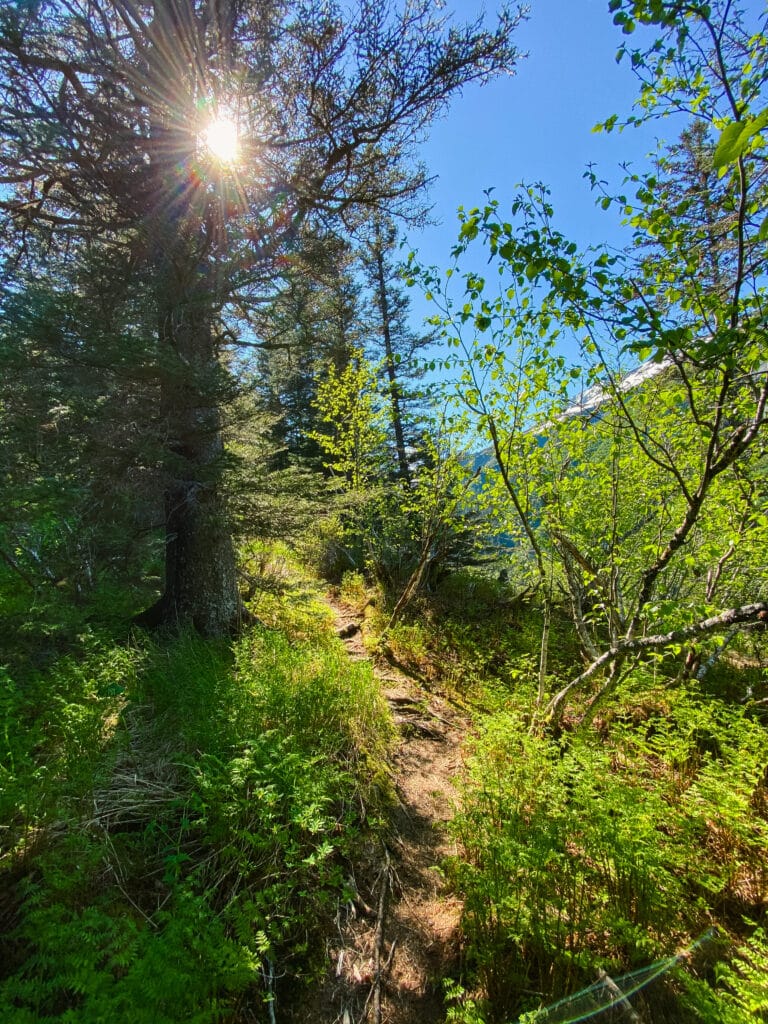
You will need to grab tree roots to pull yourself up in a number of spots, and the price of losing your footing would be a hard tumble back down to the base. Take your time and make sure you are clear on which direction the very faint trail is trying to lead you in.
Heading Towards the Tree Line
After the root scrambling, the trail becomes considerably more trail-like, leading you through the trees and brush at a moderate incline.
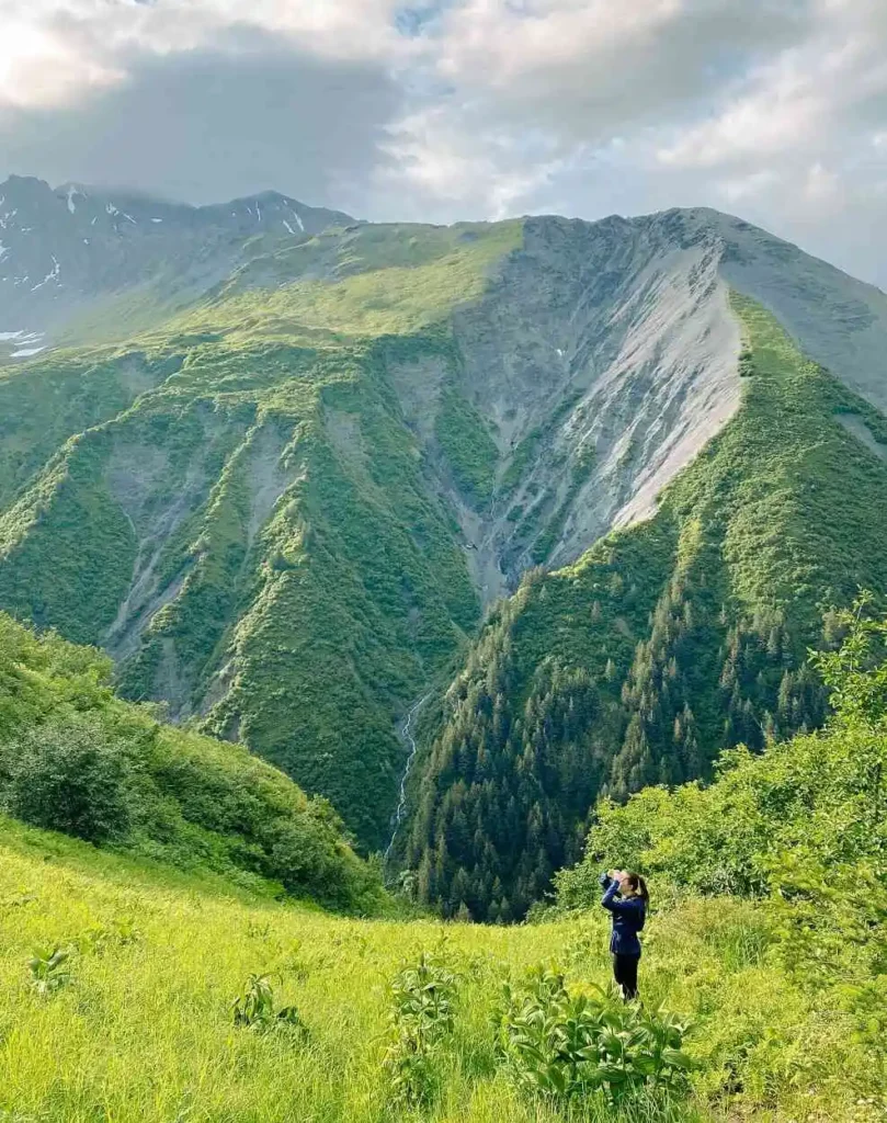
It is important to be mindful of the wildlife in the area as you make your way up. You may spot ptarmigan and other small critters in the woods, but you need to make noise for the wildlife you can’t immediately see.
I have seen bears on this trail, and that shouldn’t be surprising given the name of the mountain.
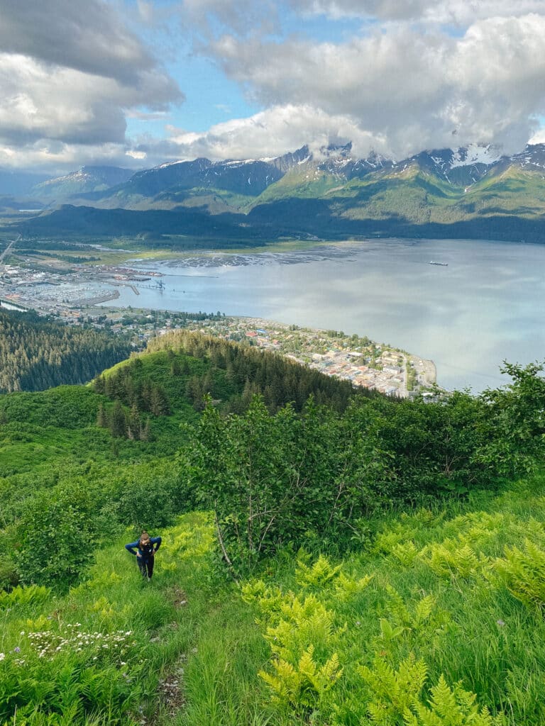
After another half of a mile, the foliage begins to give way to more open space. This section is the flattest the trail will be until you reach the false summit of Bear Mountain, known locally as Little Bear.
That makes this part of the trail a great place to take a break and prepare for what is to come.
The Push To Little Bear
The trail will continue to weave in and out of the thick plant life for the next quarter mile or so, climbing another 700 vertical feet in the process. Eventually, you find yourself on the wide-open ridge leading to Little Bear.
The wind up here can be intense, and the views spectacular. The higher you climb up the bare ridge, the more expansive the world around you becomes.
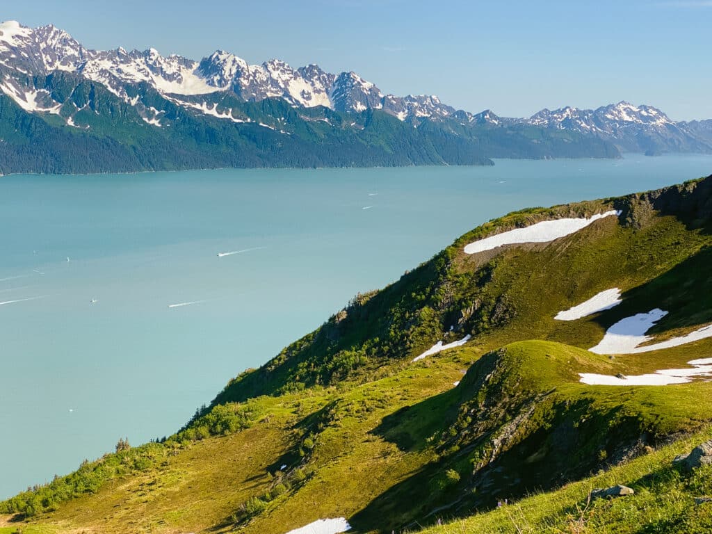
You may lose the trail at a number of points along this section. Don’t fear! Just head in the general direction of the top of the mountain, following the drop-off to Lowell Canyon on your right relatively close.
As you finally crest the top of Little Bear, you will be greeted with a whole new view ahead of you…
A Secluded Snow-Melt Lake
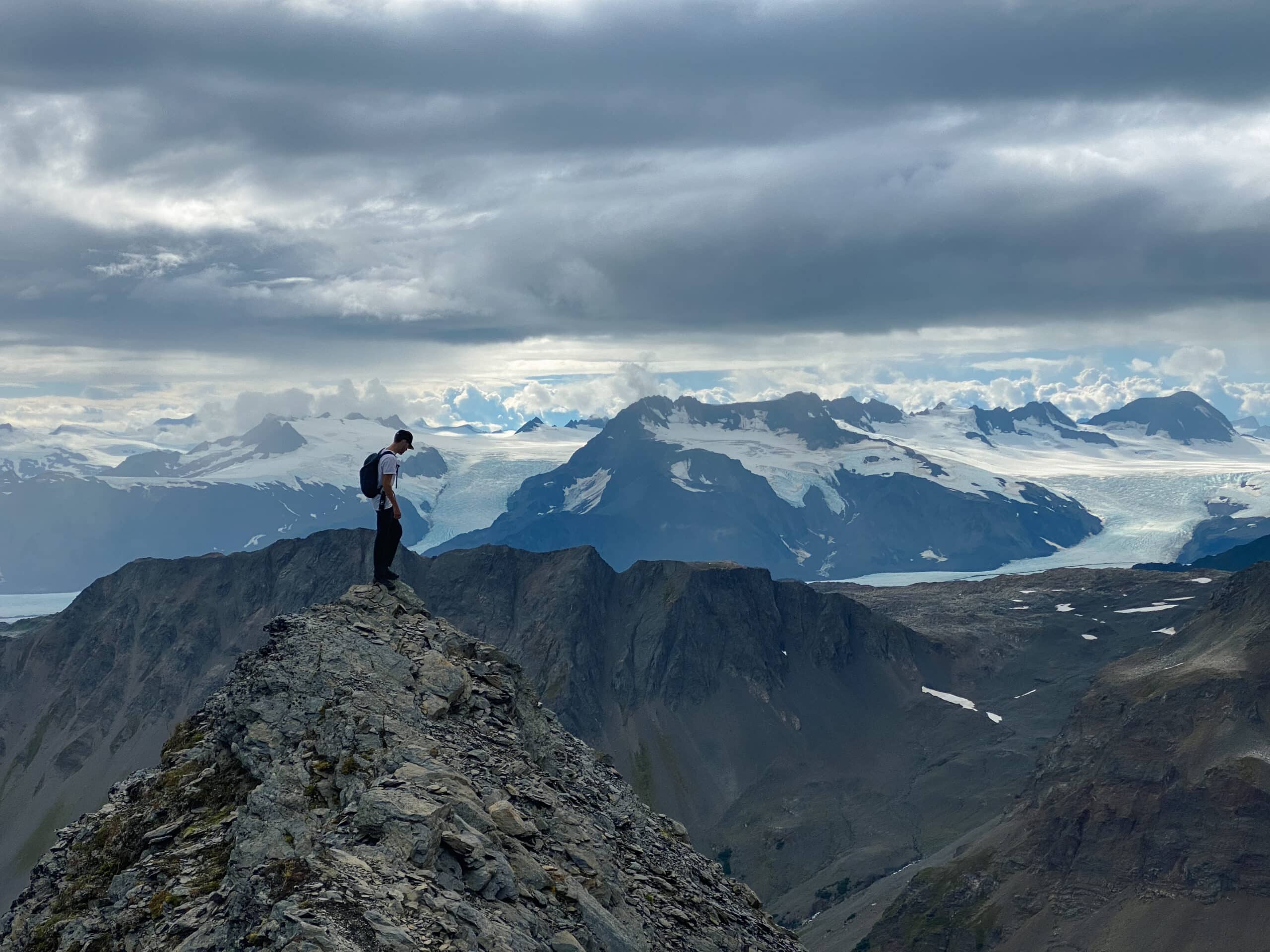
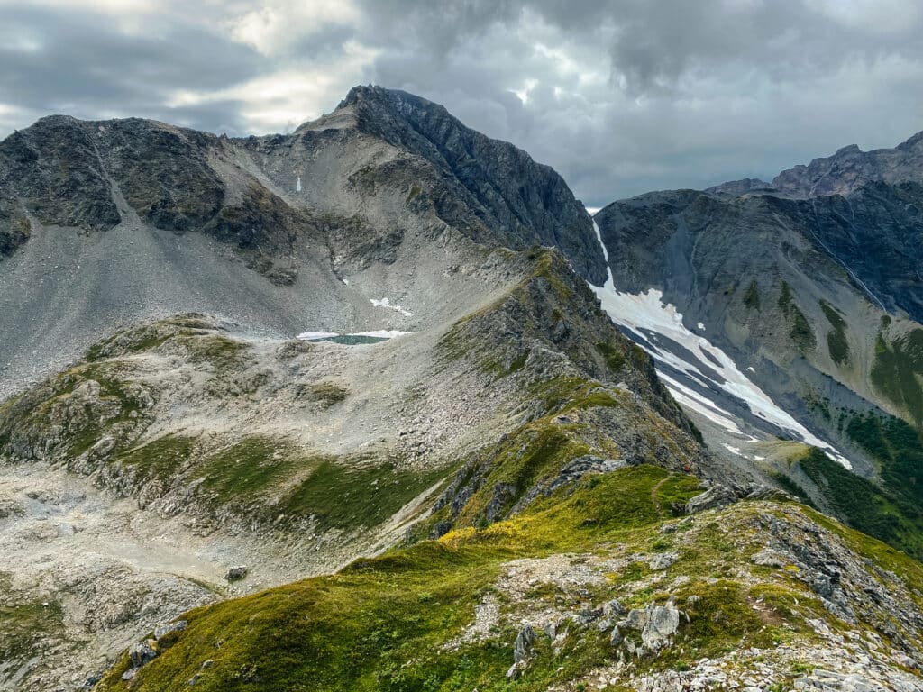
The trail doesn’t stop at the top of Little Bear. If you have the courage and the strength to continue forward, the trail walks along a knife edge that connects Little Bear to the rest of the mountain ahead.
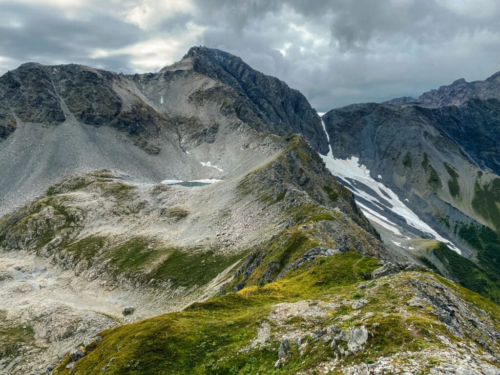
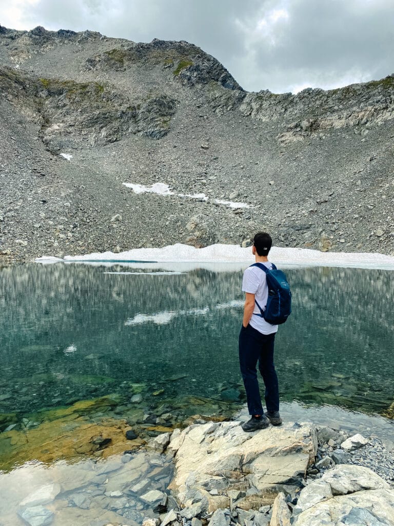
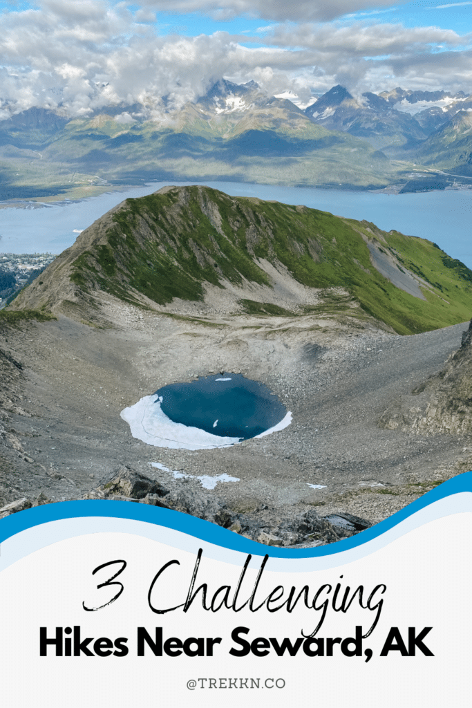
Down below, at the foot of the next rising peak, rests a small lake. In a scene that is as close to perfect as anything is, a wide, round basin holds the snow melt of the past winters, creating a glacier-blue lake begging to be witnessed.
Upon my first trip up this mountain, I had no idea what to expect.
As I came over the top of the false summit and laid eyes on the sights below, I just couldn’t believe it. It felt like I was the first one to ever see this, even though I knew that to be false.
The magic of the area makes you believe it’s just you and the mountain scene; nothing and nobody else exists at that moment.
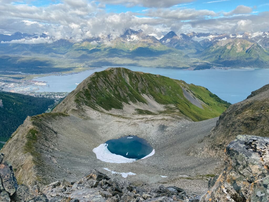
At this point, hikers have the option to, one: enjoy the views from a distance atop the narrow ridge, two: head down to the lake to get a closer look, or three: continue onwards toward the summit.
Most people will want to and should make this area of the trail their turnaround point. Everything past this point gets more into mountain climbing territory, which may be a little more than you bargained for.
You have a long journey back down the mountain, and that can be just as, if not more exhausting than the trip up.
The Summit of Bear Mountain
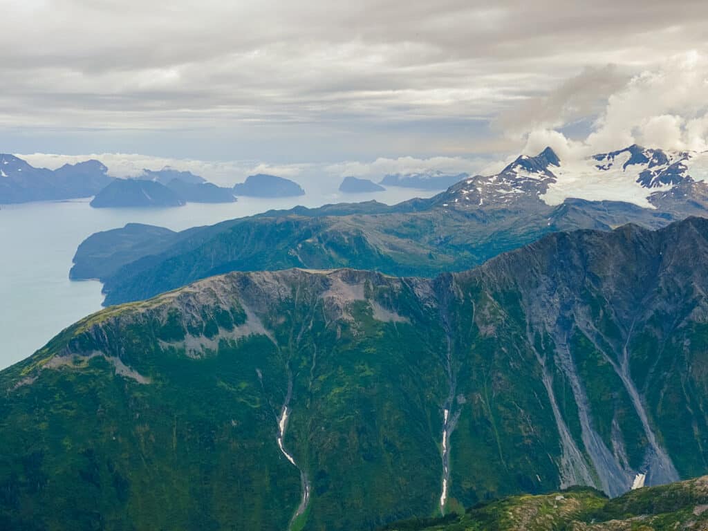
I won’t be detailing the trip up to the summit past the basin, but I will share the views that can be found if one chooses to fight their way up to the top.
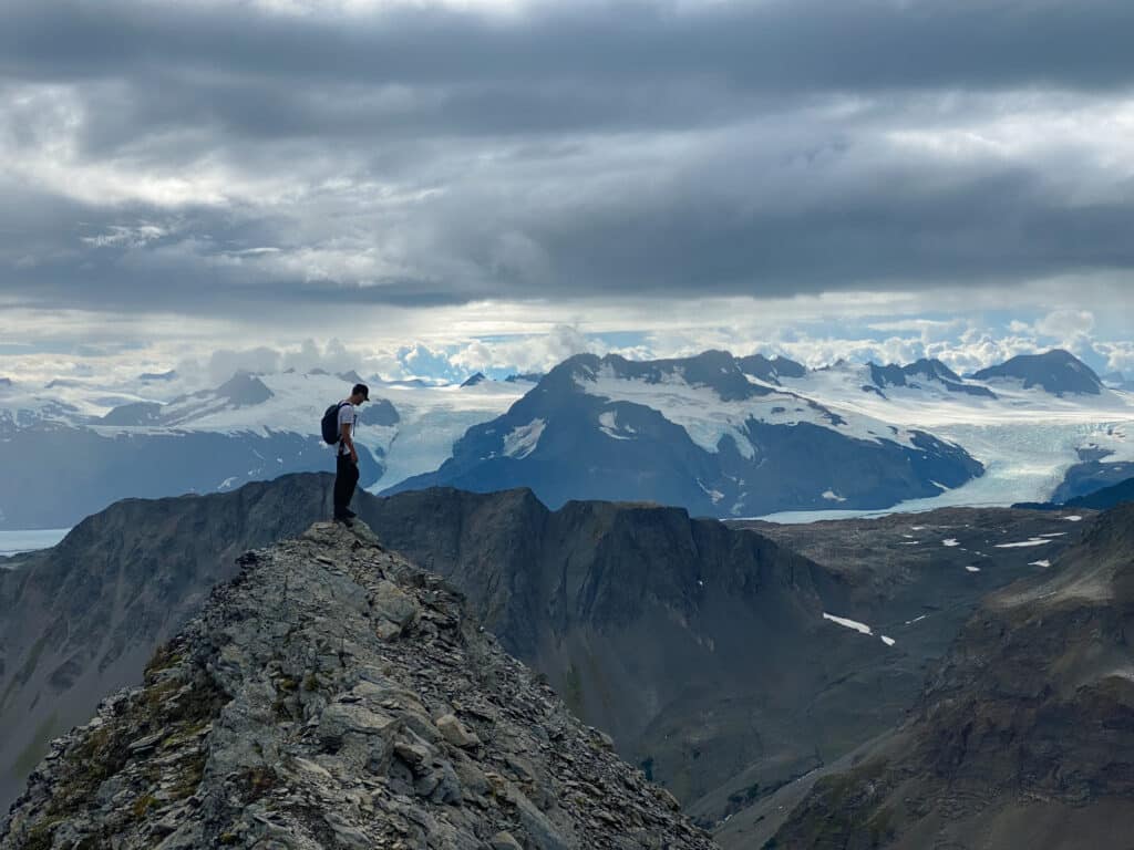
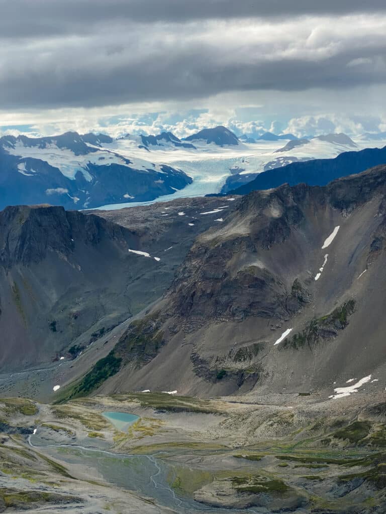
From the top of Bear Mountain is without a doubt the best view I have ever seen in Alaska. It felt like we, my brother Aaron and I, truly worked for this view. It was a special moment that we will never forget.
Get out there and challenge yourself!
Josiah B gained invaluable experience while living on the road with his family, during which time he felt overcome with the desire to continue exploring. That search landed him in Seward, Alaska, where he currently resides. His love for the outdoors is welcome with open arms in the Last Frontier, and with an endless amount of hiking and backpacking to be done, he’s eager to share the best that Alaska has to offer.


