Hiking California’s Iconic Lost Coast Trail
Sometimes we go hiking to get lost from the world and find ourselves. The aptly named Lost Coast provides an opportunity to do just that.
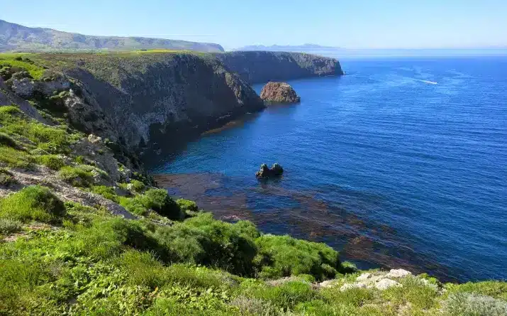
Remote and rugged, the northern section of the Lost Coast Trail presents 25 miles of unspoiled coast: a chance to step along to the march of the pounding surf, accompanied by the bobbing heads of gray seals, elk eating kelp, and the flow of creeks descending to the sea.
The trail, while not steep, is complex in route and weather, granting a clarity of mind that comes from careful attention to the present moment. I left the trail in total and utter awe, buoyed by a connection to the earth and a windswept sensation of freedom and joy.
Feeling inspired to try it yourself? Here’s what you need to know to get the most out of your adventure along this iconic route.
Your Guide to The Lost Coast Trail
The Basics
The Lost Coast trail is a 24.6-mile stretch in the Kings Range that follows a jagged coastline and can be hiked one way in either direction, or made into an out-and-back.
The trailheads are at Mattole Beach, in Petrolia, California, and Black Sands Beach, near Shelter Cove in Whitethorn.
Permits and Planning
It requires a permit to camp overnight and careful planning to hike according to the tide charts, as certain sections become impassable during high tide. While the steepness of this trail is not particularly demanding, the instability of the terrain can make it a challenging route.
Other hazards include sneaker waves, tricky stream crossings, black bears, and wind exposure; it’s not recommended for beginning backpackers.
Trailheads
Best Times to Go
Generally, you’ll have the best weather hiking the Lost Coast Trail between late May and early October.
Although the sea-level elevation makes for moderate temperatures year round, heavy rains in the winter and its shoulder seasons can make for an uncomfortable journey and difficult stream crossings.
I did the hike in early November and was blessed with mostly pleasant weather and very few fellow travelers, though the days felt noticeably short and the wind was ferocious at times.
Securing Permits
Anyone who is hiking overnight in the Kings Range Wilderness, including along the Lost Coast, must get a permit. You can secure them from the online reservation system at Recreation.gov.
Permits are released on a 3-month rolling window system, opening at 7:00 am. This means that each day at 7:00 am, they release the permits for three months from that date. For example, on May 20 permits will be released for August 20; on May 21, permits will be realized for August 21; and so on.
The number of permits issued varies throughout the year. Generally, between May 15 and September 15, there are 60 people permitted per day. Between September 16 and May 15, 30 people are permitted per day.
You can book a maximum of three to a party. Two walk-up permits are available each day at the Kings Range Visitor Center, located at 768 Shelter Cove Road, Whitethorn (first come, first served).
Permits must be collected during the visitors center’s open hours, Monday-Friday 8:00 am – 4:30 pm. Weekend permits are sold on Fridays.
Transportation
If you want to hike one-way, your best option is to run your own shuttle within your group. You can also book a shuttle through Lost Coast Adventures or risk hitchhiking (which Trekkn doesn’t recommend) back to your car.
Planning for the Tides
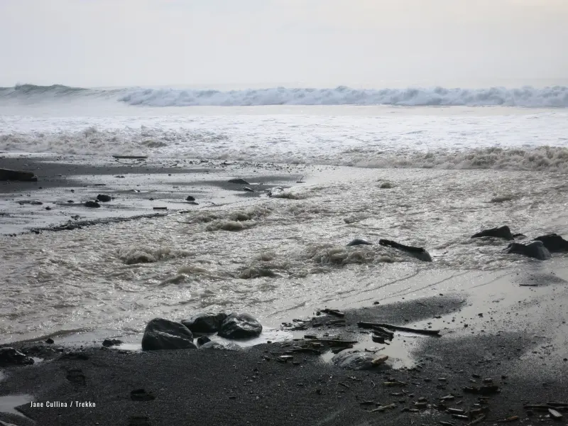
Research the tides for the dates you’ll be hiking to be sure that there will be daylight hours for you to cross the “impassable zones.”
This pamphlet from the Bureau of Land Management offers clear guidance on what levels of water are passable at different sections of the trail.
Access and review the current NOAA tide chart. Make sure that you are confident in reading the chart and bring a printed copy with you on trail.
What to Pack
You’ll want your standard backpacking gear, with attention to a few items in particular.
Ensure you are prepared for your hike. Check the top recommended water filters for hiking.
Pooping
Unsurprisingly, as you’ll be very remote, there are no toilets along the trail. Instead, the best practice is to poop in the intertidal zone, which will allow the ocean to quickly break down your waste.
Dig a 6-8” hole in the wet sand, as close to the ocean as you can safely get, do your business, and then completely cover the hole to maximize the decomposition of your poop (and hide the sight). Pack out any toilet paper and feminine hygiene products.
Enjoy the sea air and the view! But don’t forget to be mindful of any items, like your trowel or shoes, that might be carried away by the incoming tide as you’re doing your duty.
The Hike
Many folks recommend hiking from Mattole south to Black Sands Beach, because of the prevailing wind direction. However, for me, the logistics made the most sense to start at Black Sands Beach.
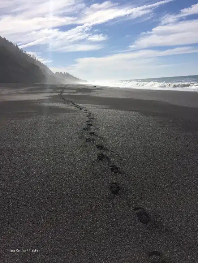
After picking up a permit and bear canister at the King Range Visitor Center, I got on trail around noon. The first couple of miles I hiked along soft sand and small pebbles and was immediately thrust into the beauty of the wild landscape.
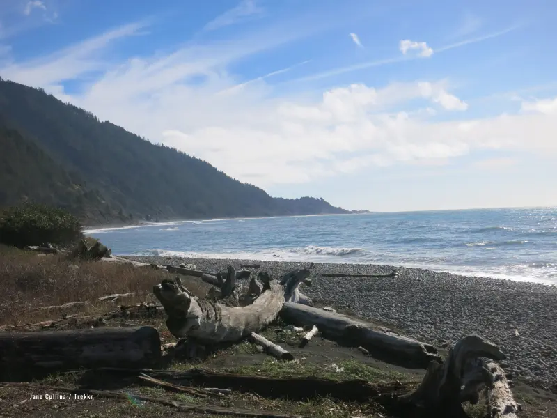
The ocean here is immensely powerful and hazardous to swim in, so it’s best enjoyed from the safety of the sand. You’ll see evidence of its power along the trail; I came across whale bones, a dolphin skull, and piles and piles of sun-bleached driftwood.
Wildlife Sightings
But the living creatures are numerous as well. Coming around a corner, you’re likely to spot large-eared elk munching on grass or kelp. Shore birds, pelagic birds, and songbirds will accompany you on your journey.
For one stretch, a great blue heron continuously took off and landed in advance of me until finally it flew far into the distance.
Campsite
There are no designated campsites, but there are locations that are better suited to pitching a tent, including Miller Flat, a large grassy plateau about 8.5 miles in from the Black Sands trailhead.
Although the mileage of the Lost Coast isn’t huge, because of the timing of the tides, it is best traversed in three—or if you’re like me and want to really savor the experience—four days.

Day Two
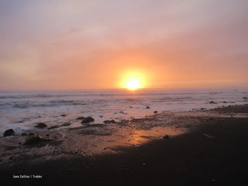
On day two, walking up to a cotton candy pink sky, I hiked from Miller Flat to Randall Creek, about 7.8 miles.
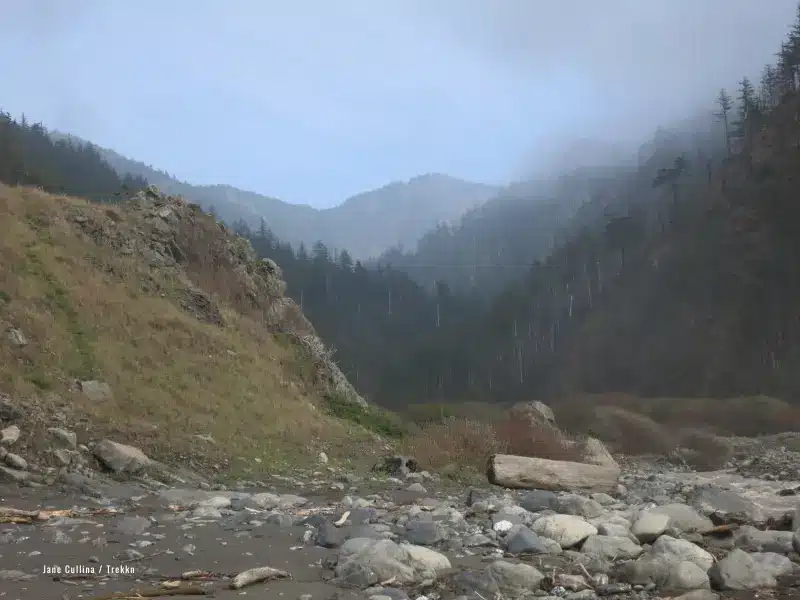
Starting along the plateau amidst dry grasses and purple lupines, the trail eventually returned down to the beach, where I walked over large rocks, round and smooth as pebbles, and made eyes at the seals watching me from the waves.
As I walked, I gazed at layered clouds and the way the water changes color in the shifting light.
Day Three
On day three, I awoke to a thick coat of ocean mist and the sound of rows and rows of powerful breakers crashing into the coastline. The first mile of the day was challenging—careful tide planning and hiking along cliff edges. But the afternoon walk was simple and stunning.
At one point, I came across a heap of elephant seals splayed out on the sand: a pile of roly poly sand-colored bodies.
Although I was a good distance away (as one should always be), one of the males raised himself toward me, opened his jaw a few times, then lay back down, before scooting off into the surf a few minutes later.
My Final Night
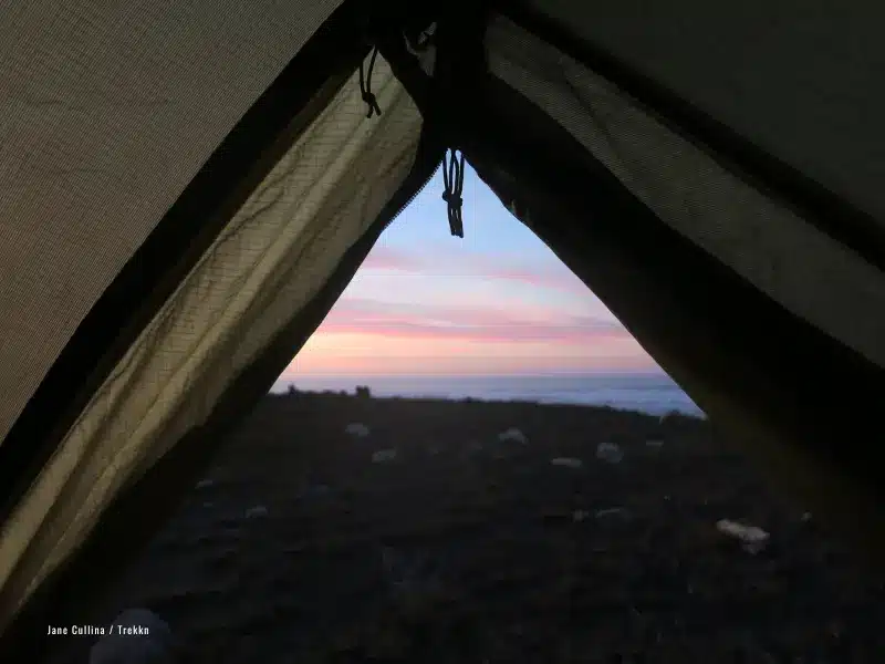
On my final night on trail, the winds howled in, ripping up my tent stakes; my body the only thing keeping the tent from flying out to sea.
Perhaps I should have chosen a more sheltered spot near this creek. But, no matter—the exposure to weather is one of the tricks and treats of being on trail.
Only a mile to go to get to the Mattole trailhead, the final stretch along smooth small pebbles, speckled with urchin and mussel shells. And then the shock of re-entry into society!
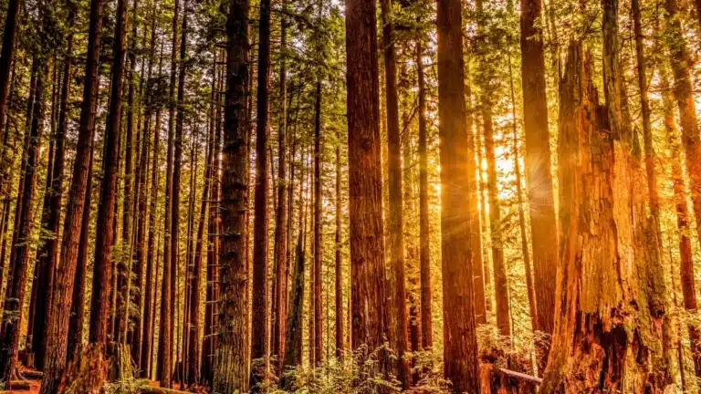
Although I was only out for three nights, the wilderness seeped into my bones and jolted me with joy—a slow re-entry would be necessary, and was eased by the drive out through towering redwoods.
I wish for you an equally unparalleled experience! Happy Hiking!
Jane Cullina is based in Santa Barbara, California, where she draws inspiration from the juxtaposition of sea and mountains that frame her surroundings. Her experiences as an outdoor educator on both coasts cemented Jane’s belief that time spent in nature leads to extraordinary moments of growth and connection. Today, whether at work as a project manager, educator, and writer, or at play in the wilderness of the U.S., Canada, and beyond, Jane seeks to weave together the practical with the profound.
