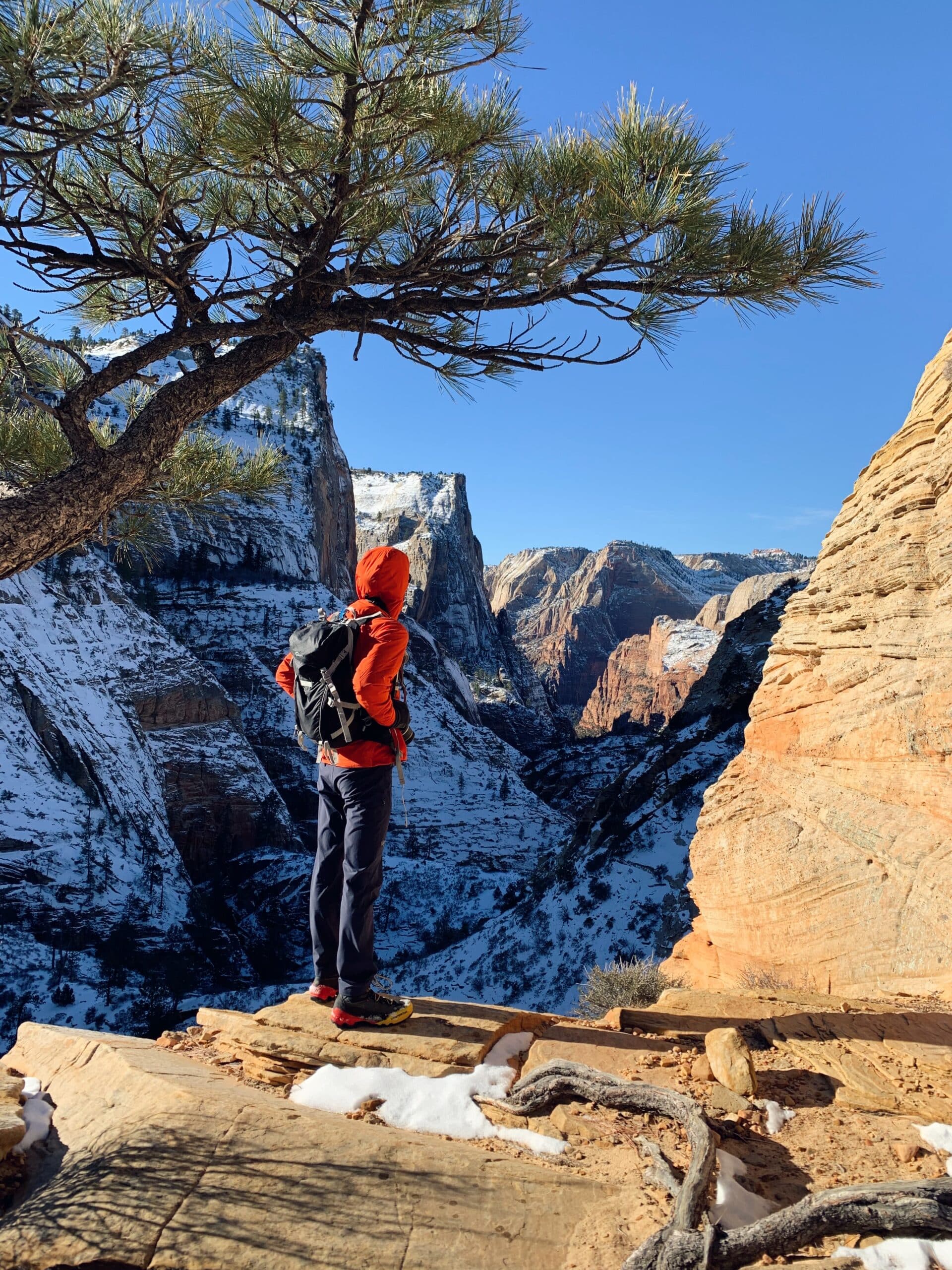
3 of the Least-Crowded Hikes in Zion National Park
If you’re looking for some outdoor adventure with stunning views and fewer people, check out the details for three of the least crowded hikes in Zion National Park, Utah.
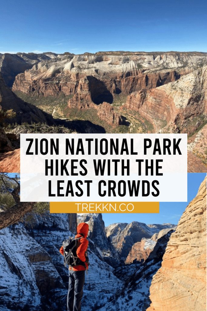
Hiking in Zion National Park is always an experience that leaves me in awe.
The beauty found in southern Utah is so uniquely captivating that I just want to keep exploring, soaking in every bit of rust-colored bliss.
Even though you will most likely enjoy your time spent in the National Park regardless of which trails you hike, I always prefer experiencing National Parks as “one-on-one” as I can.
In my opinion, finding the best hikes in Zion National Park requires looking past the most popular options.
Of course Angels Landing will be mind-blowing, and The Narrows will facilitate an experience like no other, but getting away from the major crowds is always very rewarding.
That being said, Zion is a wildly popular park as a whole, so true seclusion is hard to find. Particularly during the busy seasons of spring and summer.
However, looking past the first few popular trails listed by most sites will open the door to exciting new hikes.
3 of the Least Crowded Hikes in Zion National Park
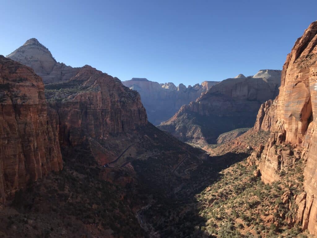
1. Observation Point via Stave Spring Trailhead
- Location: East side of Zion
- Distance: Around 10 miles out-and-back
- Elevation Gain: ~2,200 feet
- Time Required: Anywhere from 4 to 8 hours, depending on season and conditions
- Difficulty: Hard
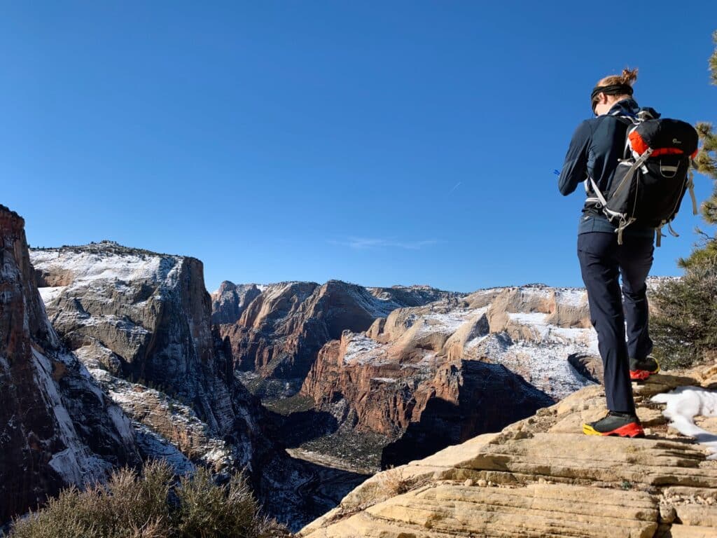
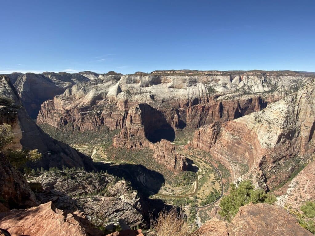
Observation Point is one of the most popular places in the park to take in an amazing view of Zion Canyon.
In years past, thousands of visitors would reach Observation Point each year via the main trail from Weeping Rock.
In 2019 there was a massive landslide that buried a portion of the trail under tons of rock. Since then, the trail has been indefinitely closed. This was a big bummer for many people who treasured this trail.
There are other ways to reach Observation Point, namely via the East Mesa Trail or the East Rim Trail via the Stave Spring Trail.
The East Mesa Trail is the easier of the two, which also makes it a more popular option for reaching the overlook.
The other option, the Stave Spring route, sees a good amount of visitors as well, but not nearly as many.
Parking
The parking situation for the Observation Point via Stave Spring Trail is a bit rough.
The actual lot for the trailhead is pretty much only safely accessible for vehicles such as a Jeep or any other 4WD vehicles with off-road capabilities. Don’t try to make it all the way to the lot with your rental car.
You will most likely get stuck in the deep potholes and leftover spring snow.
Recently, signs have been put up along the road leading to the trailhead that say “No Parking”. So parking isn’t the easiest for this trail.
The ideal situation would be to have someone drop you off and pick you up.
If you’re not hiking this trail during the busy seasons, you may be able to park on the side of the road right before it declines towards the dirt lot.
I have heard about many people making the wrong call and getting their vehicle stuck, so be extra careful!
The Trail
The first half a mile takes you through a grove of pines, and out onto a grassy field. An intersection will appear at the half mile mark, at which point you will want to take a right turn to head towards Observation Point.
The diversity of scenery on this trail is pretty insane.
The trail starts out at a pretty high elevation, where you will hike for about a mile on fairly flat terrain. During this section, you will catch glimpses of the valley opening up to the left.
Soon after, the trail begins to switchback all the way down into the valley.
This section can feel a bit unnerving, especially if you have a fear of heights. This section of the trail does not get very much sun, so snow and ice stick around well into the spring.
Bringing along some micro spikes for extra traction would be a good idea. The drop-off into the valley below is no joke, so take it nice and easy.
When you eventually reach the floor of the valley, the trail becomes a nice leisurely stroll. As you traverse through the valley, it can be a bit difficult to find the trail at times.
One portion of the trail has you walking on rock, with no discernible trail visible. It is important to keep a look out for the small rock cairns that were set up to guide hikers through this section.
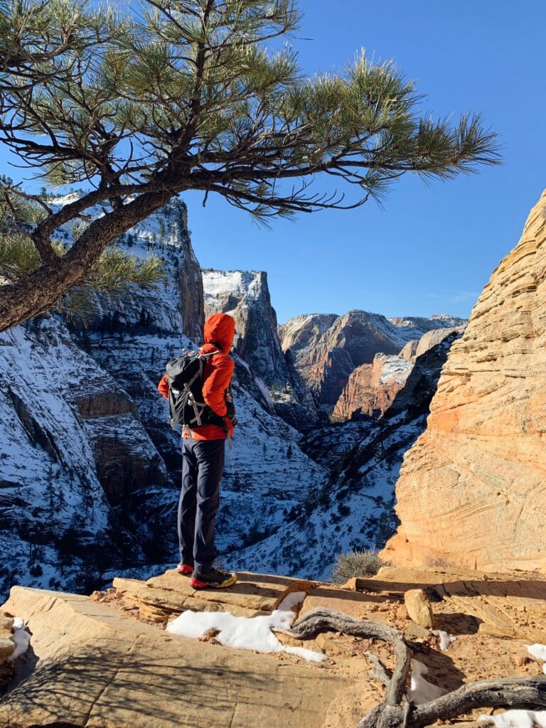
Hype yourself up for the next section of the trail, as you climb out of the valley you just descended into.
These switchbacks can be quite exhausting and are often considered the most difficult part of the trail. Stay strong through this part, because the best views are yet to come.
As you climb higher and higher, the expanse of the valley below is once again revealed. One final stretch along the side of the valley wall will spit you out onto a relatively flat area.
This area is where the East Mesa Trail intersects with the East Rim Trail.
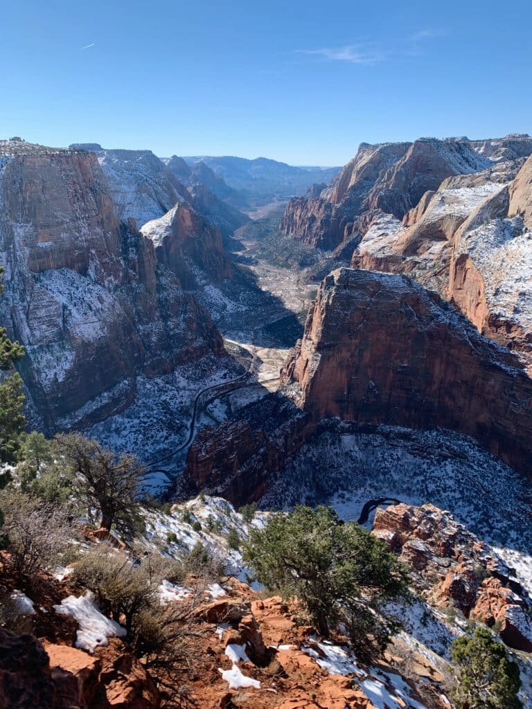
Continue towards the edge of Observation Point to see some of the best views of Southern Utah.
2. Cable Mountain via Stave Spring Trailhead
- Location: East side of Zion
- Distance: 7.7 miles out-and-back
- Elevation Gain: ~1,075 feet
- Time Required: Anywhere from 3 to 5 hours, depending on season and conditions
- Difficulty: Moderate
Cable Mountain is another breathtaking viewpoint on the east side of the park.
Southeast of Observation Point, Cable Mountain allows visitors to look down into the main valley below from a different vantage point.
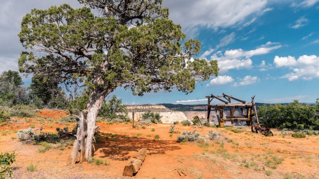
The mountain gets its name due to the cable system that once transferred supplies from the plateaus into Zion Canyon in the early 1900’s. Remnants of this historical cable system still stand today.
Parking
The parking for this trail is shared with the parking for the previous trail, Observation Point via Stave Spring.
Just as above, an ideal scenario would be to have someone drop you off and pick you up from the road leading up to the trailhead.
If this isn’t possible, there are other ways to safely park, such as having a 4WD vehicle or finding a legal spot on the dirt road leading to the trailhead.
The Trail
There are a couple of other trails you can take to reach the top of Cable Mountain, but starting from the Stave Spring Trailhead is usually considered the easiest path. Even so, this trail is not super popular.
The beginning of the trail starts off exactly the same way that the Observation Point Trail does. After half a mile, an intersection of trails appears.
To continue on towards Cable Mountain, keep moving straight as the trail slightly bends to the south. If you were headed to Observation Point, you would take a right at this intersection.
Continue hiking south for about a third of a mile.
You will soon see another intersection of trails, with the East Rim Trail veering off to the left and Cable Mountain Trail keeping right. If you’re hiking when it’s in season, Stave Spring sits just past this fork on the left arm.
It is a great place to fill up with water if need be. Otherwise, keep to the right at the fork to head towards yet another intersection.
This next section of the trail is where most of the elevation gain occurs.
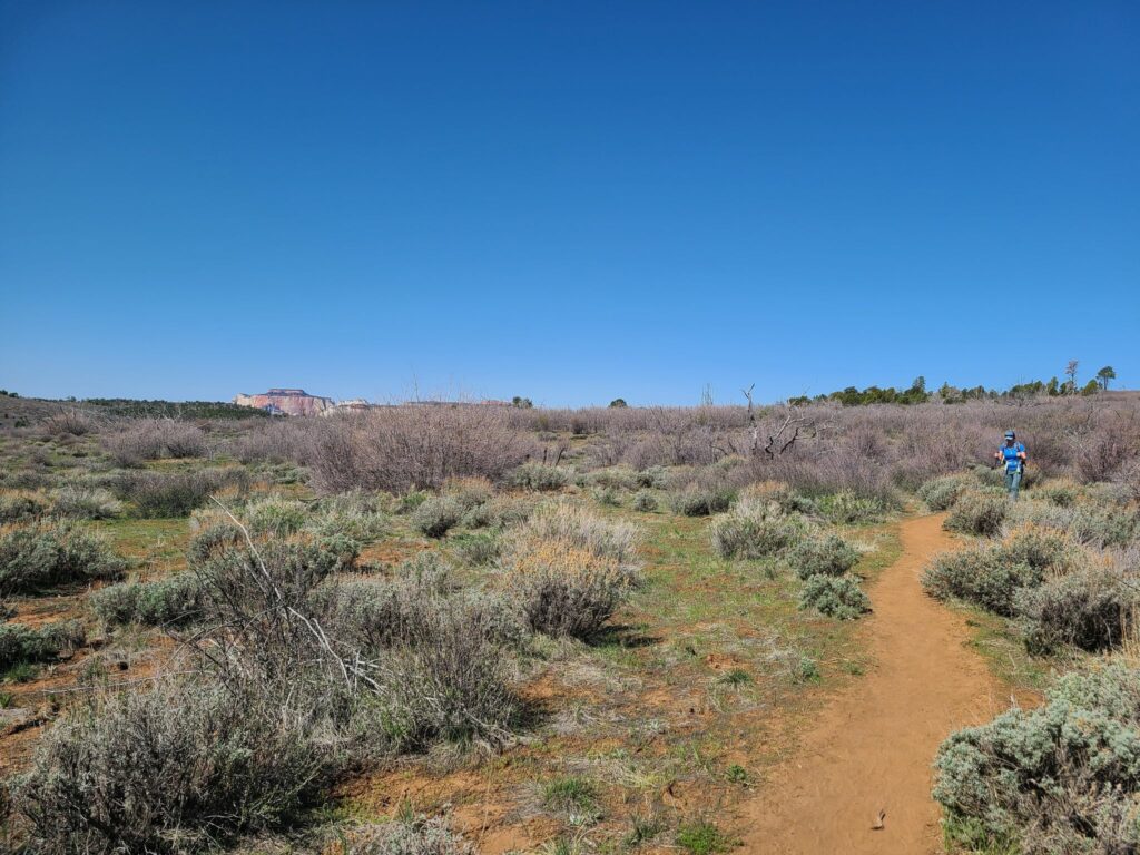
For the next 1.1 miles you will climb through the wide-open highlands of Zion, passing by all types of high-desert plant life, including sections of fire damaged forest.
Be aware that most of this trail leaves you very vulnerable to the sun. A majority of the trail traverses through the high plateaus, which don’t offer much in the way of shade.
During the summer months, it is vital to come prepared with sun protection.
About a quarter-mile before the end of the main climb, the trail splits into two. Heading to the right will take you towards Deertrap Mountain: another hike that offers spectacular views.
Keep left to head towards Cable Mountain.
Just past this intersection, you will reach the top of the climb. The end of the trail is actually 500 feet lower in elevation, making for a nice leisurely stroll to the lookout point.
The decline begins with a mellow grade through some pine and juniper trees. Past this, the decline becomes considerably steeper, but soon ends atop Cable Mountain.
Spend some time here taking it all in. It’s not very often that you get to spend a morning on one of the best hikes in Zion National Park.
3. Northgate Peaks via Kolob Terrace
- Location: Northwest section of Zion; reached via Kolob Reservoir Road
- Distance: 6 miles out-and-back
- Elevation Gain: ~1,120 feet
- Time Required: Anywhere from 2 to 4 hours, depending on season and conditions
- Difficulty: Moderate
This last trail on our list takes us to a completely different section of the National Park.
When compared to the majesty of Zion Canyon, some people may wonder why I’ve chosen to call this trail one of the best hikes in Zion National Park. I’ve done so for a few simple reasons:
Firstly, this trail to Northgate Peaks can be a great option for visitors with kids, as it is one of the most moderate trails in the park.
If all you want from this trail is to see an incredible landscape and enjoy time outdoors, you don’t even need to make it to the top of the two peaks.
Soaking in the views from the base of the Northgate Peaks is sure to leave you content.
Secondly, this area of Zion National Park hosts some of the most unique rock formations out there. In some ways, this area feels like an entirely different National Park!
Rather than staying in the main area with all of the other visitors in the park, I’ve always enjoyed looking for something new and different. By doing so you get to experience the full scope of this legendary National Park.
Parking
The parking for this trailhead is definitely easier than the previous two trails on this list.
Taking the Kolob Reservoir Rd into the park, a parking lot for the Wildcat Canyon Trailhead will appear on your right in about 15 miles.
This drive along the Kolob Reservoir Road is a fantastic scenic drive, so don’t be surprised if you end up stopping for pictures along the way.
The Trail
The hike begins with a wide, well-defined trail that leads you through a field of ponderosas.
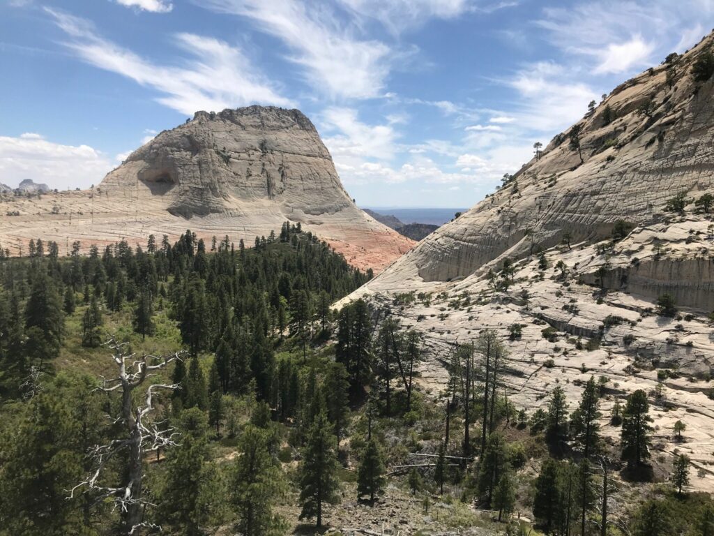
As you meander through the trees, giant sandstone formations can be seen in the distance. The white color of these formations is drastically different from the rust-red of the main Zion Canyon.
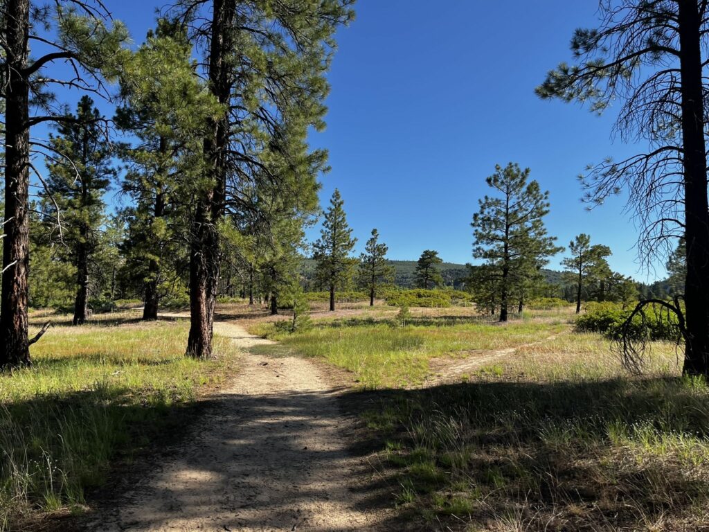
After a mile of hiking, the trail meets up with the Connector Trail. Continue on the Wildcat Canyon Trail by keeping left at this intersection.
About 0.2 miles after this intersection, another intersection appears. This is where the Northgate Peaks Trail meets the Wildcat Canyon Trail. Turn right at this intersection to continue on towards the Peaks.
Another 0.2 miles of walking will bring you to a fork in the trail. Keeping right at the fork will lead towards the Northgate Peaks while going left will take you towards the Subway Trail.
Past the fork, the trail continues for approximately 1 mile as you head towards Lava Point. Lava Point marks the end of the maintained portion of this trail.
For those who were only looking for a leisurely stroll with great views, this also marks the turnaround point.
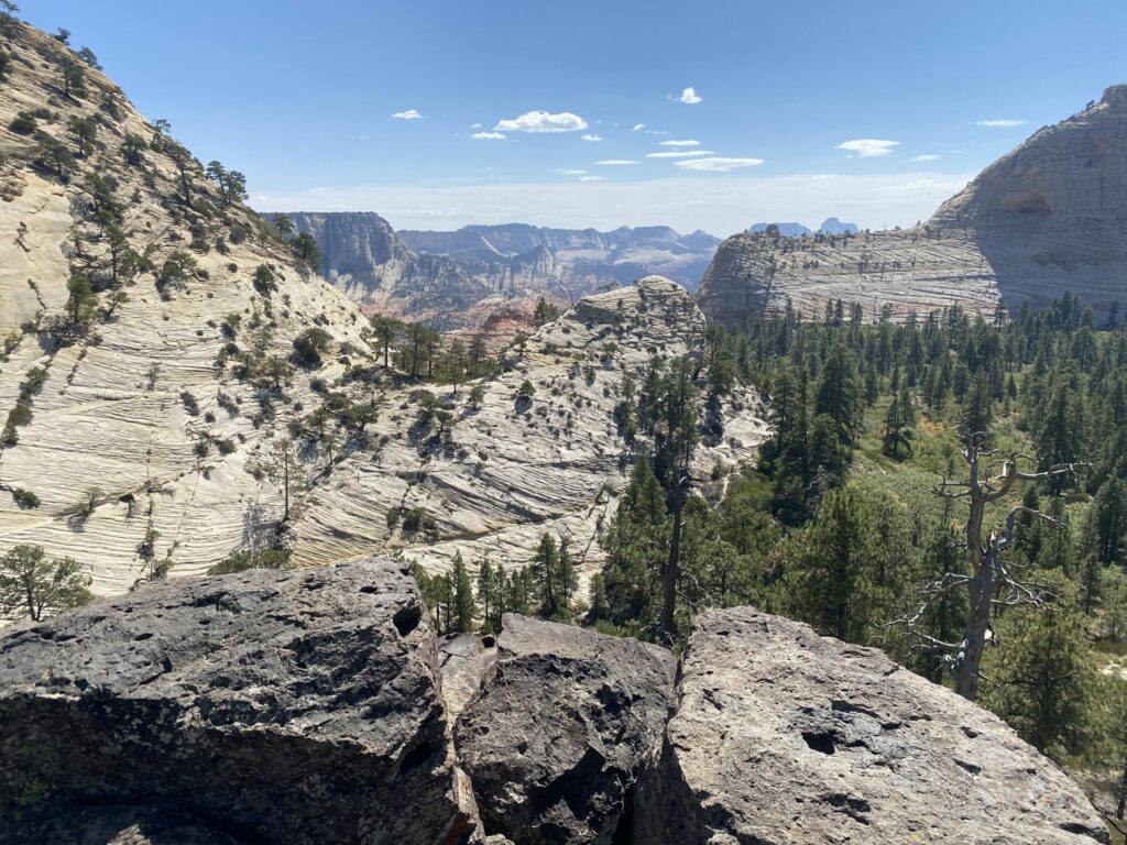
Lava Point is a great place to stop, rest, and marvel at the incredible bleached sandstone formations that flank you on both sides.
If you’re in the mood for a bit of bushwhacking, scrambling to the top of the Northgate Peaks will provide a satisfying challenge.
AllTrails has a pretty good track that will help you navigate the unmaintained trail up the peaks.
That concludes our list of 3 of the Least Crowded Hikes in Zion National Park!
It goes without saying that Zion National Park holds a wide array of exceptional hiking experiences.
Hopefully, these few suggestions help you decide how to spend your time at one of America’s most beautiful parks. Now get out there and explore!
More Outdoor Adventure in Utah
- Hiking to Delicate Arch (How to Make the Most of Your Time)
- Devil’s Garden Trail: A Great Way to Experience Arches National Park
- The Ultimate Guide to Canyonlands National Park for RVers
Josiah B gained invaluable experience while living on the road with his family, during which time he felt overcome with the desire to continue exploring. That search landed him in Seward, Alaska, where he currently resides. His love for the outdoors is welcome with open arms in the Last Frontier, and with an endless amount of hiking and backpacking to be done, he’s eager to share the best that Alaska has to offer.


