Guide to Carter Lake Trail Hike Near Seward, Alaska
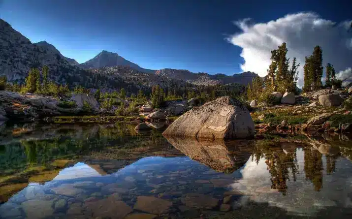
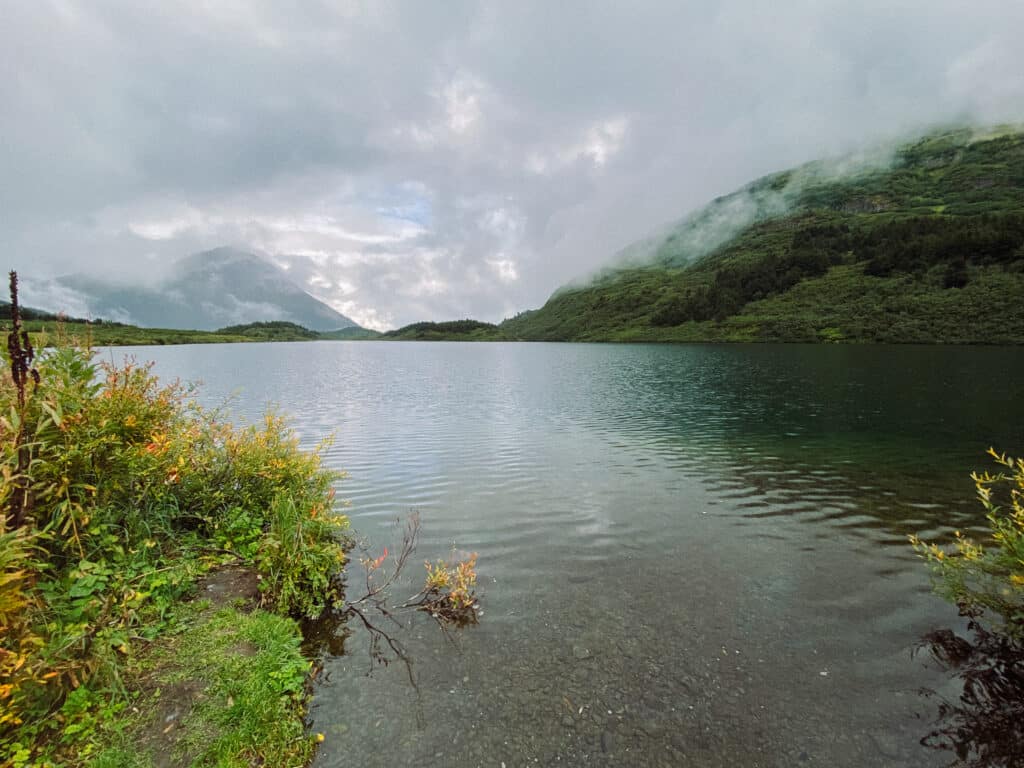
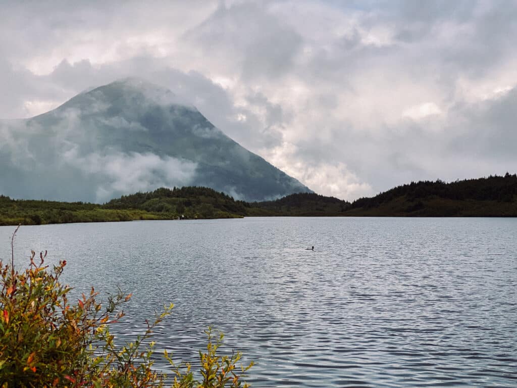
Carter Lake is an idyllic Alaskan scene nestled back in the Chugach National Forest. Stoic mountains, L V Ray Peak and The Engine, serve as a serene backdrop to the waters of the lake. The wide variety of plants and animals fill the space with an undeniable presence of life. This is your guide to hiking Carter Lake Trail near Seward, Alaska.
The Carter Lake Trail is the easiest way to get there, although it can also be accessed via the Crescent Lake Trailhead over on the Sterling Highway. Compared to other hikes in the area, the Carter Lake Trail is relatively accessible and family-friendly.
With a roundtrip distance of approximately 5 miles, this trail is right in the sweet spot between strenuous and a walk in the park. For groups who don’t have an entire day to dedicate to a trial, the Carter Lake Trail can easily be completed in a morning or afternoon.
This quick hike offers an experience that is sure to make you fall further in love with the Kenai Peninsula.
Watch our Youtube video of the Carter Lake Trail to get an even better understanding of what the Carter Lake Trail is like!
What to Expect at Kenai Peninsula’s Carter Lake Trail
Quick Facts
- Distance: 5 to 7 miles out-and-back (depends on how far you want to hike)
- Elevation Gain: 1,105 ft
- Difficulty: Moderate
- Obstacles: Stream crossings (shallow)
Finding the Parking Lot for Carter Lake Trail
TRAILHEAD
The trailhead is located just over 30 miles north of Seward along the Seward Highway. You can expect about a 40 minute drive if you’re staying in Seward.
The small town of Moose Pass sits just before the turn-off for the trailhead at mile 34. Signs along the road also point you towards the lot for the Carter Lake Trail.
Depending on the time of year that you are hiking and the weather conditions of the day, the Carter Lake Trail parking lot has a chance to quickly fill up.
On a sunny Saturday in the middle of summer, don’t be too surprised if there isn’t any room for your vehicle. Take these factors into consideration when planning your hike.
RESTROOMS
The parking lot also offers restrooms for convenience.
Starting the Carter Lake Trail
At the start of the trailhead, pay attention to the signs posted on the bulletin board. They can provide helpful information about trail conditions, bear sightings, and rules for the trail.
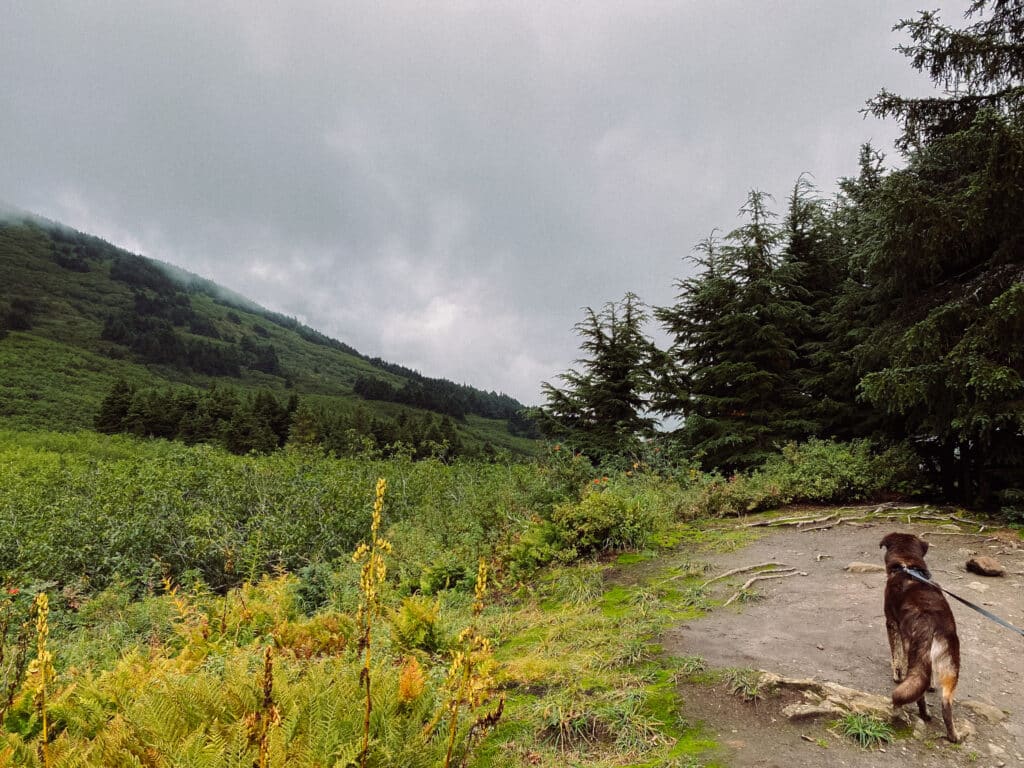
The first stretch of the Carter Lake Trail is a gentle incline as you head into the dense forest of spruce and hemlock trees.
FLORA
As you ascend through the trees, make sure to pay attention to the shoulders of the trail. If you’re hiking in the later summer months, many different mushrooms can be seen and admired.
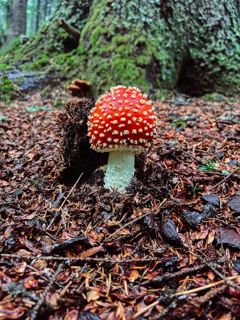
Perhaps existing as the most recognizable mushroom in the world, the Amanita muscaria grows in abundance in these parts.
I would encourage you to admire from afar, rather than picking a mushroom and throwing it down again just a few seconds later. Other hikers have the right to admire these beautiful living fungi.
Related Reading: Leave No Trace Principles
Stream and Creek Crossings
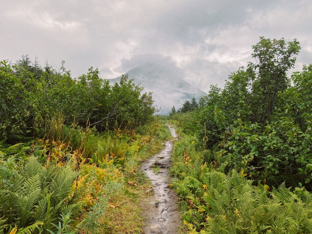
As you continue onward, the trail keeps climbing in elevation. The majority of the elevation gain for this hike is in the first mile, so don’t worry about it lasting forever.
BE PREPARED FOR SHIFTS IN WEATHER
This section can be a little strenuous, so I would recommend not beginning the trail with a bunch of layers, but rather starting cold and getting warmed up as you hike up.
We chose to hike the Carter Lake Trail on a day that looked like it would be nice and clear, but fairly heavy rain accompanied us for the first half of the trip.
This rain, along with the many more inches of rain that fell over the previous couple of weeks, made the trail conditions… let’s just say not ideal.
Related Reading: How to Properly Layer Clothing for Outdoor Hiking
WEAR WATERPROOF HIKING BOOTS
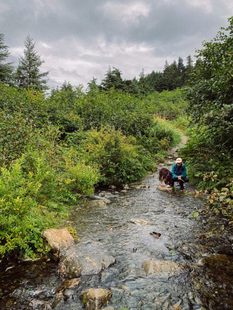
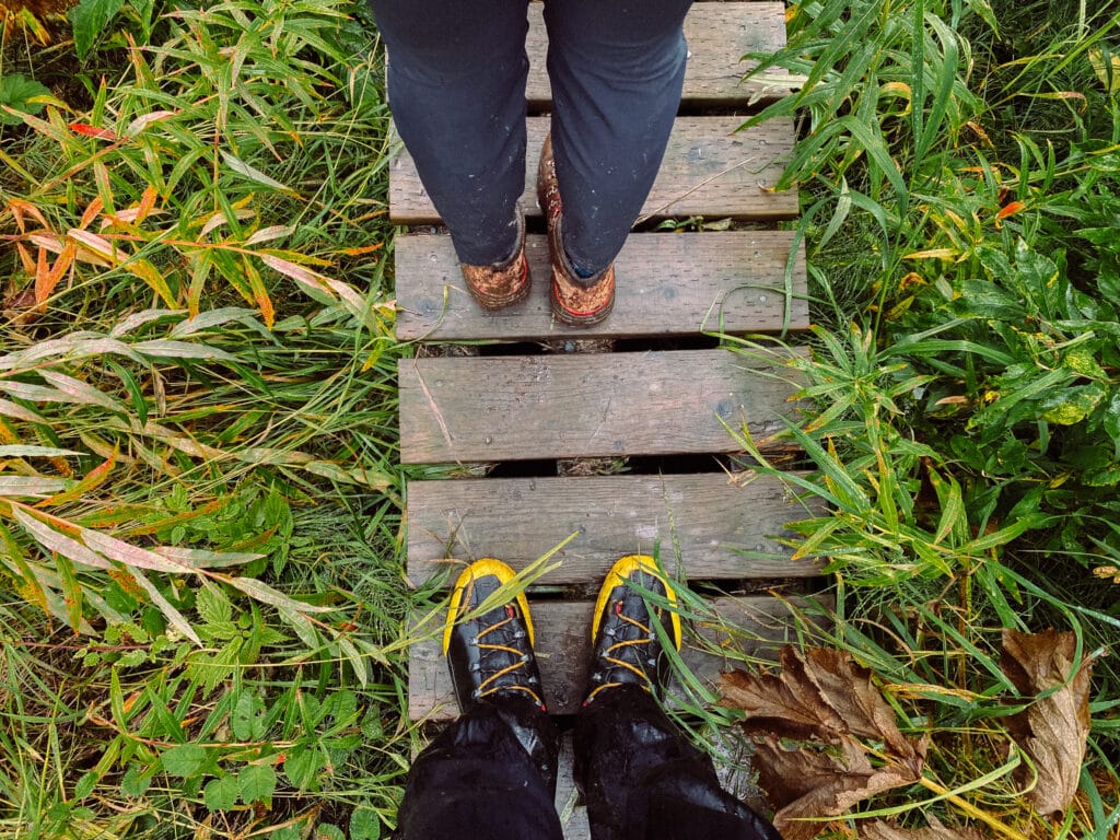
Even without the excessive amounts of rain, the Carter Lake Trail requires hikers to cross a handful of small creeks. The extra precipitation allowed these creeks to expand and in some areas completely take over the path.
Where the trail wasn’t completely transformed into mud that could swallow your shoes, the crystal clear waters of snowmelt and rainfall had already staked claim. In conditions like these, a hiker who isn’t prepared with the proper footwear may find themselves not having the greatest time.
If you have waterproof hiking boots, gain greater peace of mind by wearing them. Nobody enjoys having sopping wet shoes and socks while trying to enjoy a peaceful hike in the mountains.
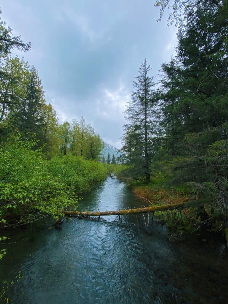
In some spots along the trail, sturdy wooden bridges provide an easier crossing.
A Serene Sub-Alpine Valley
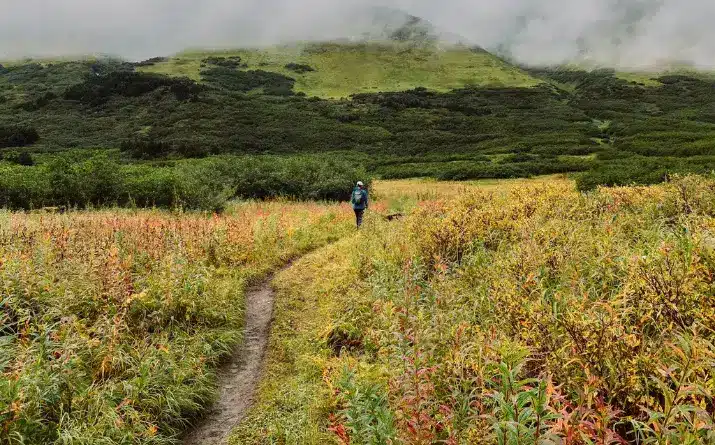
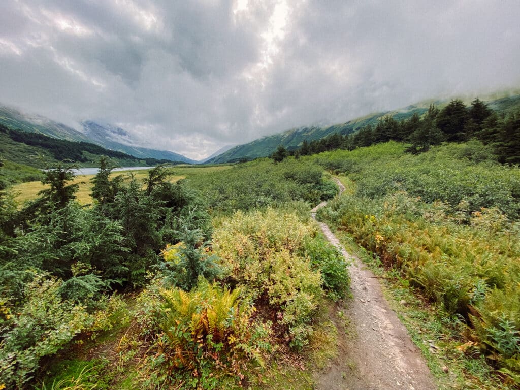
The steady incline continues past small cascades and waterfalls, weaving between alder and willow trees. After the first 1.5 miles, roughly, you will find yourself standing in a wide, sub-alpine valley.
Carter Lake itself can be seen from this point, resting in the center of the valley.
WILDFLOWERS OF CARTER LAKE TRAIL
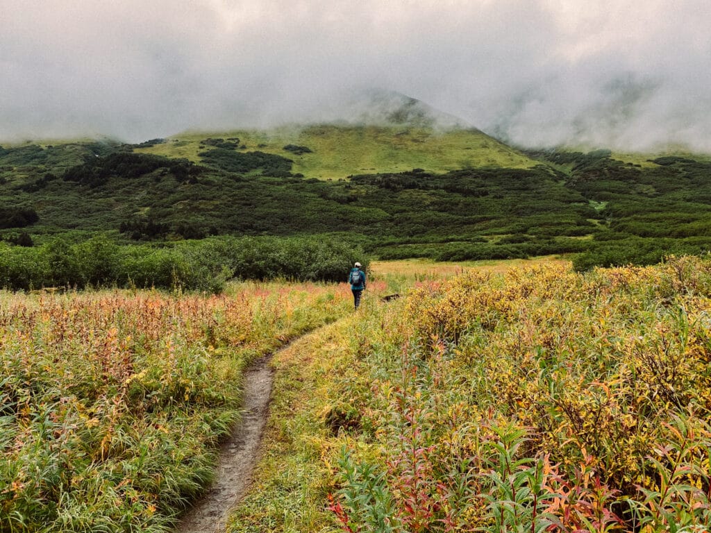
If you have timed your visit right this whole valley will be filled with wildflowers: fireweed, larkspurleaf monkshood, and much more.
We hiked in late summer, and while it was still undoubtedly beautiful, we missed out on the best of the wildflowers. The acres of fireweed had turned brown; the unmistakable sign of a quickly approaching autumn.
TRAIL MEETS THE LAKE SHORE
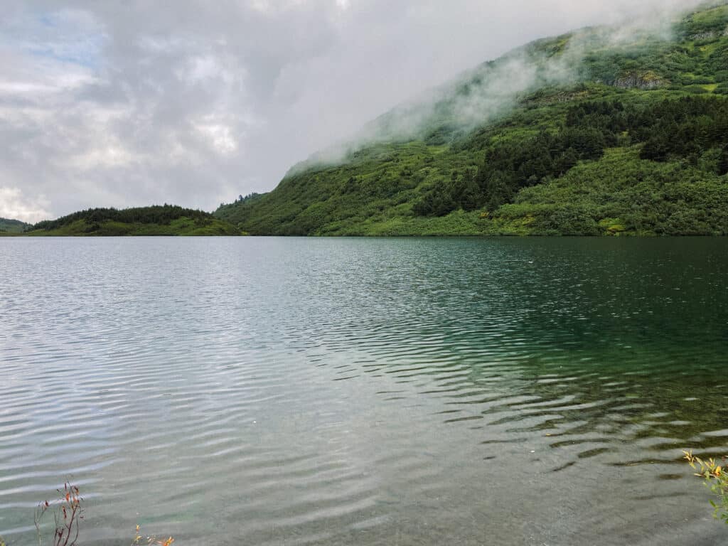
The trail continues heading generally south, keeping fairly close to Carter Lake. In about half a mile the trail meets with the shore of the lake. A pretty narrow area gives hikers access to the water. It was quite nice to stand at the waters’ edge and listen to the animal and plant life around me.
But, you may find it difficult to find a spot to sit down and relax at this point on the trail (it didn’t help that the shore was basically all mud).
SERENITY
In the modern world, finding silence, true silence, is harder than it ever has been.
Whenever I’m out in the natural world I always make sure to take advantage of the opportunity to experience the silence that permeates the space.
Carter Lake certainly offered up some beautiful moments of silence. The loons floating atop the lake don’t like to let silence stand for too long, however.
Their calls echoed throughout the entire valley, mesmerizing both myself and my puppy, Mac.
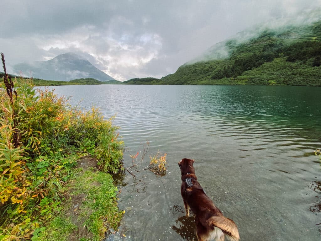
Fishing for trout is another popular activity on Carter Lake. We even crossed paths with a group of people carrying a trash bag full of fresh trout down the trail!
Just make sure to follow all local laws and regulations when fishing.
Extend Your Hike To Crescent Lake
For the hiker who hasn’t quite had their fill, the trail does continue on from this point.
We opted to turn around and head back to the car after standing on the shore for a little while, but there is a whole other lake that can be accessed via this trail!
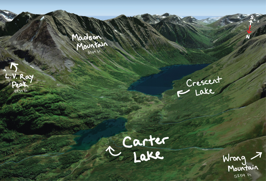
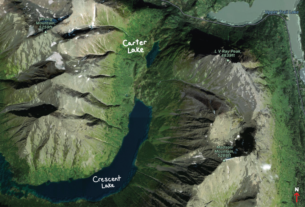
Crescent Lake sits about a mile more to the south from where we stopped.
The trail continuing onward looked fairly overgrown and messy, and the Forest Service calls it a ‘primitive’ trail, so take that into consideration if you want a longer day hike (or thru-hike!).
A Note About Mud
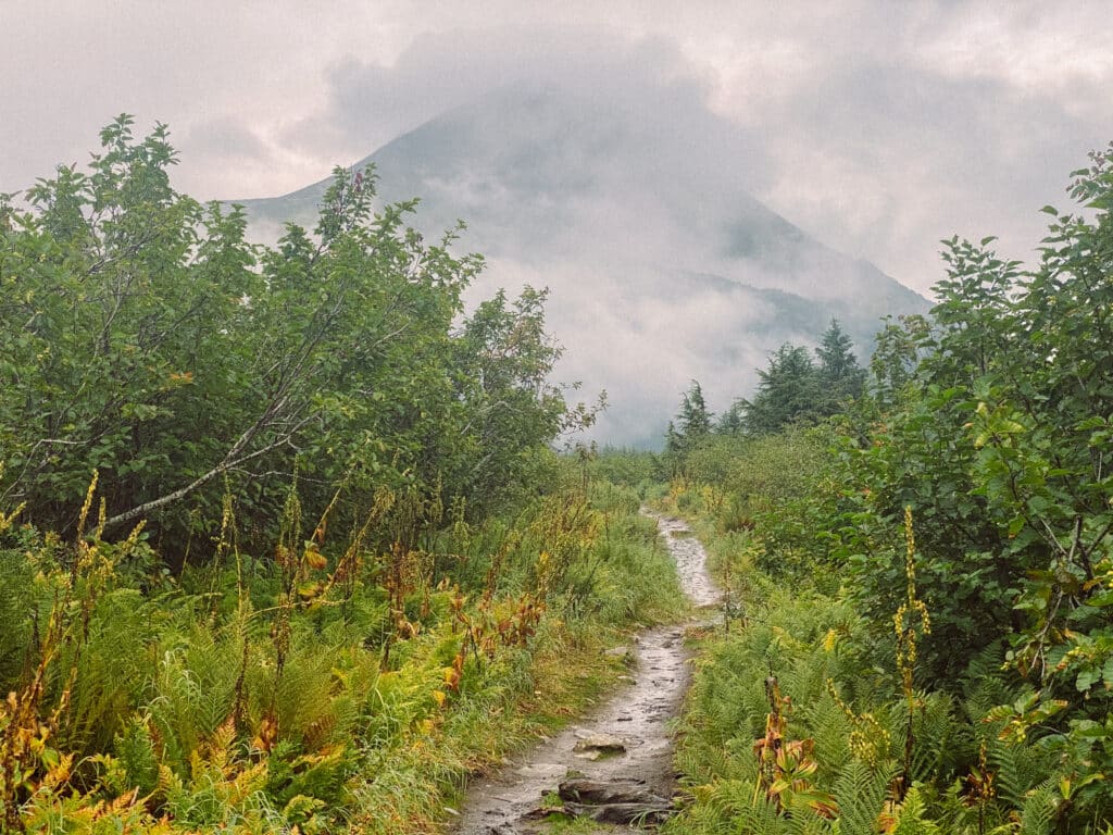
Muddy trails are a very common sight in and around Seward, Alaska.
It is not uncommon to head out on a trail knowing full-well what a mess you will encounter. However, as a way to limit the impact we have on the land, it is important to not walk off-trail in order to avoid any muddy areas.
This is particularly important on high-traffic trails.
When hikers choose to step on the shoulders of a trail instead of on the actual trail itself, no matter the condition, they are unintentionally expanding the “borders” of the trail. The more this happens, the wider and wider a trail becomes.
Naturally, there are situations where stepping off-trail is the only reasonable move. To limit how often this occurs, we should wear footwear that allows us to brave the crappy trail conditions. Embrace the mud!
Camping Spots Along the Carter Lake Trail
For those looking for an opportunity to camp, there are a handful of designated camping spots located at different points along the trail.
Most of the sites are located in the sub-alpine zone of the trail, which means fairly level ground and gorgeous views.

This map from the Forest Service shows where some of these campsites can be found.
The map also provides info about which campsites have accommodations, such as bear-proof food storage containers and a ‘backcountry toilet’.
Other Things to do in Seward, Alaska
Seward, Alaska has been my home for the last couple of years. Here are a few recommendations of what to do while you’re there:
- 5 Free Things to Do in Seward, Alaska
- Hiking the Lost Lake Trail in Seward, Alaska
- 5 Restaurants in Seward, Alaska You Won’t Want to Miss
- RV Parks in Seward, Alaska: An Overview of Places to Park Your Rig
- Why You Should Go on a Boat Tour in Seward, Alaska
- 3 of the Best Hiking Trails Near Seward, Alaska
- Mount Alice: Hiking up Seward’s Tallest Mountain
- Scenic Seward Highway: Your Guide to an Unforgettable Drive
Happy Trails!
Pin to Save for Later
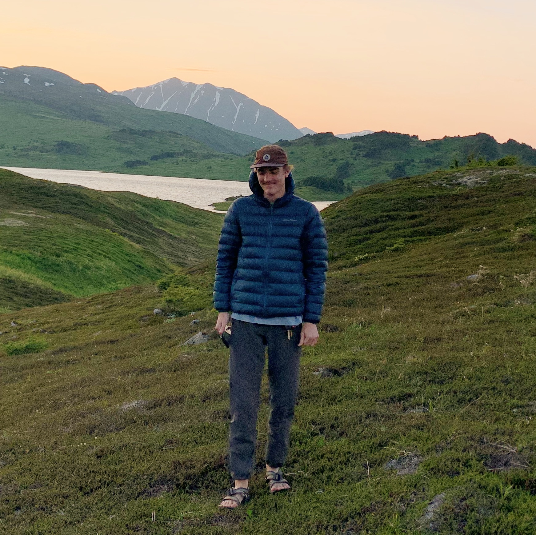
Josiah B gained invaluable experience while living on the road with his family, during which time he felt overcome with the desire to continue exploring. That search landed him in Seward, Alaska, where he currently resides. His love for the outdoors is welcome with open arms in the Last Frontier, and with an endless amount of hiking and backpacking to be done, he’s eager to share the best that Alaska has to offer.


